Area Overview for E11 3LA
Photos of E11 3LA
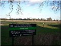
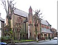
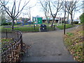
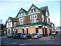
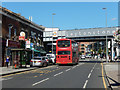
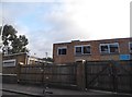
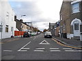
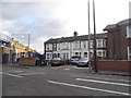
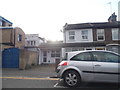
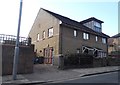
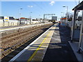
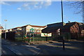
88 photos from this area
Area Information
Key information about the E11 3LA including its size, population, and administrative classification.
- Area Type
- Postcode
- Area Size
- 5853 m²
- Population
- 1506
- Population Density
- 12872 people/km²
House Prices in E11 3LA
41
Properties
£365,779
Average Sold Price
£48,500
Lowest Price
£850,000
Highest Price
Showing 41 properties
| Address | Type | Beds | Baths | Last Sale Price | Last Sale Date | |
|---|---|---|---|---|---|---|
| 134 Matcham Road, Leytonstone, E11 3LA | Terraced | 3 | 2 | £700,000 | Nov 2024 | |
| 87 Matcham Road, Leytonstone, E11 3LA | Terraced | 3 | 2 | £678,500 | Dec 2023 | |
| 122 Matcham Road, Leytonstone, E11 3LA | house | 3 | 2 | £700,000 | Apr 2023 | |
| 140 Matcham Road, Leytonstone, E11 3LA | Terraced | 2 | 1 | £591,000 | Mar 2023 | |
| 124 Matcham Road, Leytonstone, E11 3LA | house | - | - | £538,000 | Sep 2022 | |
| 132 Matcham Road, Leytonstone, E11 3LA | house | 2 | 1 | £585,000 | Sep 2022 | |
| 81 Matcham Road, Leytonstone, E11 3LA | house | - | - | £850,000 | Jun 2022 | |
| 100 Matcham Road, Leytonstone, E11 3LA | Terraced | 2 | 1 | £640,000 | Mar 2022 | |
| 69 Matcham Road, Leytonstone, E11 3LA | house | - | - | £525,000 | Jun 2021 | |
| 98 Matcham Road, Leytonstone, E11 3LA | house | - | - | £565,000 | Dec 2020 |
Page 1 of 5
Energy Efficiency in E11 3LA
Amenities
Schools
| Rank | School | Type | Entry gender | Ages |
|---|
Explore more schools in this area
Go to Schools tabDemographics
Household Size
Family (3-5 people)
most common
Accommodation Type
Houses
most common
Tenure
46
majority
Ethnic Group
White
most common
Religion
N/A
most common
Household Composition
N/A
most common
Age
47
median
Adults (30-64 years)
most common
Household Deprivation
N/A
with no deprivation
NS-SEC
28
in Lower managerial occupations
Explore more demographic insights in this area
Go to Demographics tabPlanning
Planning Constraints
- Flood RiskPremium
- Ramsar Wetland SitesPremium
- Area of Outstanding Natural BeautyPremium
- Protected Nature ReservePremium
- Protected WoodlandPremium