Area Overview for E11 3LF
Photos of E11 3LF
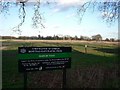
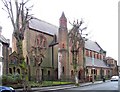
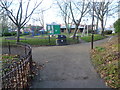
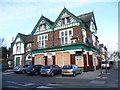

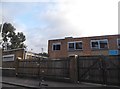
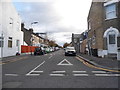
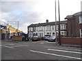
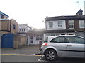
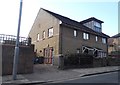
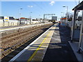
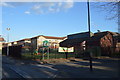
88 photos from this area
Area Information
Key information about the E11 3LF including its size, population, and administrative classification.
- Area Type
- Postcode
- Area Size
- 7089 m²
- Population
- 1677
- Population Density
- 17597 people/km²
House Prices in E11 3LF
45
Properties
£347,014
Average Sold Price
£53,000
Lowest Price
£760,000
Highest Price
Showing 45 properties
| Address | Type | Beds | Baths | Last Sale Price | Last Sale Date | |
|---|---|---|---|---|---|---|
| 68 Matcham Road, Leytonstone, E11 3LF | Terraced | 3 | 2 | £675,000 | Aug 2025 | |
| 62 Matcham Road, Leytonstone, E11 3LF | Terraced | 3 | 1 | £505,000 | Jan 2024 | |
| 80 Matcham Road, Leytonstone, E11 3LF | house | - | - | £520,000 | Dec 2022 | |
| 46 Matcham Road, Leytonstone, E11 3LF | house | 4 | 2 | £760,000 | Aug 2022 | |
| 48 Matcham Road, Leytonstone, E11 3LF | house | 4 | 2 | £750,000 | Jul 2022 | |
| 50 Matcham Road, Leytonstone, E11 3LF | house | - | - | £675,000 | May 2021 | |
| 72 Matcham Road, Leytonstone, E11 3LF | house | 2 | - | £700,072 | Mar 2021 | |
| 78 Matcham Road, Leytonstone, E11 3LF | house | - | - | £710,000 | Mar 2021 | |
| 52 Matcham Road, Leytonstone, E11 3LF | Terraced | 5 | 3 | £645,000 | Jan 2021 | |
| 14 Matcham Road, Leytonstone, E11 3LF | house | 3 | - | £505,000 | Jan 2019 |
Page 1 of 5
Energy Efficiency in E11 3LF
Amenities
Schools
| Rank | School | Type | Entry gender | Ages |
|---|
Explore more schools in this area
Go to Schools tabDemographics
Household Size
Family (3-5 people)
most common
Accommodation Type
Houses
most common
Tenure
60
majority
Ethnic Group
White
most common
Religion
N/A
most common
Household Composition
N/A
most common
Age
47
median
Adults (30-64 years)
most common
Household Deprivation
N/A
with no deprivation
NS-SEC
36
in Lower managerial occupations
Explore more demographic insights in this area
Go to Demographics tabPlanning
Planning Constraints
- Flood RiskPremium
- Ramsar Wetland SitesPremium
- Area of Outstanding Natural BeautyPremium
- Protected Nature ReservePremium
- Protected WoodlandPremium