Area Overview for E11 3DY
Photos of E11 3DY
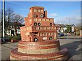
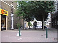
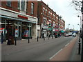
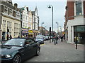
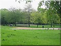
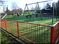
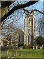
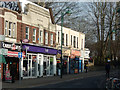
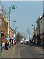
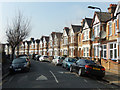
100 photos from this area
Area Information
Key information about the E11 3DY including its size, population, and administrative classification.
- Area Type
- Postcode
- Area Size
- 1.3 hectares
- Population
- 2066
- Population Density
- 8736 people/km²
House Prices in E11 3DY
70
Properties
£357,636
Average Sold Price
£53,000
Lowest Price
£867,500
Highest Price
Showing 70 properties
| Address | Type | Beds | Baths | Last Sale Price | Last Sale Date | |
|---|---|---|---|---|---|---|
| 60 Michael Road, Leytonstone, E11 3DY | Terraced | 3 | 1 | £675,000 | May 2025 | |
| 49 Michael Road, Leytonstone, E11 3DY | Terraced | 3 | 1 | £867,500 | Jan 2025 | |
| 35 Michael Road, Leytonstone, E11 3DY | Retail | 3 | 1 | £800,000 | Dec 2021 | |
| 22 Michael Road, Leytonstone, E11 3DY | Retail | 5 | 2 | £800,000 | Dec 2021 | |
| 9 Michael Road, Leytonstone, E11 3DY | house | - | - | £721,350 | Jun 2021 | |
| 58 Michael Road, Leytonstone, E11 3DY | house | - | - | £676,500 | Dec 2018 | |
| 40 Michael Road, Leytonstone, E11 3DY | Terraced | 3 | 2 | £687,500 | Oct 2018 | |
| 29 Michael Road, Leytonstone, E11 3DY | Semi-detached | - | - | £690,000 | Sep 2017 | |
| 31 Michael Road, Leytonstone, E11 3DY | Semi-detached | 3 | 1 | £600,000 | Jul 2017 | |
| 64 Michael Road, Leytonstone, E11 3DY | house | - | - | £440,000 | May 2015 |
Page 1 of 7
Energy Efficiency in E11 3DY
Amenities
Schools
| Rank | School | Type | Entry gender | Ages |
|---|
Explore more schools in this area
Go to Schools tabDemographics
Household Size
Family (3-5 people)
most common
Accommodation Type
Flats
most common
Tenure
44
majority
Ethnic Group
White
most common
Religion
N/A
most common
Household Composition
N/A
most common
Age
47
median
Adults (30-64 years)
most common
Household Deprivation
N/A
with no deprivation
NS-SEC
40
in Lower managerial occupations
Explore more demographic insights in this area
Go to Demographics tabPlanning
Planning Constraints
- Flood RiskPremium
- Ramsar Wetland SitesPremium
- Area of Outstanding Natural BeautyPremium
- Protected Nature ReservePremium
- Protected WoodlandPremium