Area Overview for E11 3DQ
Photos of E11 3DQ
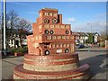
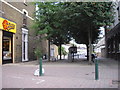
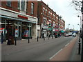
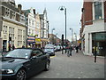
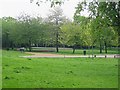
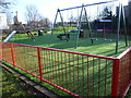
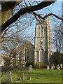
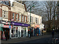
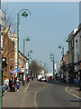
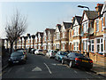
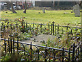
100 photos from this area
Area Information
Key information about the E11 3DQ including its size, population, and administrative classification.
- Area Type
- Postcode
- Area Size
- 8029 m²
- Population
- 1527
- Population Density
- 11674 people/km²
House Prices in E11 3DQ
46
Properties
£410,484
Average Sold Price
£24,150
Lowest Price
£838,000
Highest Price
Showing 46 properties
| Address | Type | Beds | Baths | Last Sale Price | Last Sale Date | |
|---|---|---|---|---|---|---|
| 29A Barclay Road, Leytonstone, E11 3DQ | Flat | - | - | £524,000 | Apr 2024 | |
| 13 Barclay Road, Leytonstone, E11 3DQ | house | 4 | - | £726,000 | Dec 2021 | |
| 21 Barclay Road, Leytonstone, E11 3DQ | house | - | - | £600,000 | Sep 2021 | |
| 31 Barclay Road, Leytonstone, E11 3DQ | house | - | - | £838,000 | Jun 2021 | |
| 63 Barclay Road, Leytonstone, E11 3DQ | house | - | - | £24,150 | Jun 2020 | |
| 59 Barclay Road, Leytonstone, E11 3DQ | house | - | - | £612,500 | Apr 2017 | |
| 19 Barclay Road, Leytonstone, E11 3DQ | house | - | - | £675,000 | Oct 2014 | |
| 1 Barclay Road, Leytonstone, E11 3DQ | Semi-detached | 3 | 2 | £600,101 | Sep 2014 | |
| 41 Barclay Road, Leytonstone, E11 3DQ | house | - | - | £499,995 | Nov 2013 | |
| 17 Barclay Road, Leytonstone, E11 3DQ | house | - | - | £185,000 | Sep 2009 |
Page 1 of 5
Energy Efficiency in E11 3DQ
Amenities
Schools
| Rank | School | Type | Entry gender | Ages |
|---|
Explore more schools in this area
Go to Schools tabDemographics
Household Size
Family (3-5 people)
most common
Accommodation Type
Houses
most common
Tenure
62
majority
Ethnic Group
White
most common
Religion
N/A
most common
Household Composition
N/A
most common
Age
47
median
Adults (30-64 years)
most common
Household Deprivation
N/A
with no deprivation
NS-SEC
48
in Lower managerial occupations
Explore more demographic insights in this area
Go to Demographics tabPlanning
Planning Constraints
- Flood RiskPremium
- Ramsar Wetland SitesPremium
- Area of Outstanding Natural BeautyPremium
- Protected Nature ReservePremium
- Protected WoodlandPremium