Area Overview for E11 2RB
Photos of E11 2RB
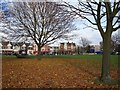
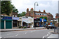
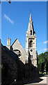
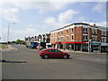
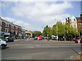
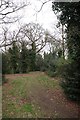
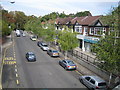
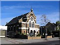
100 photos from this area
Area Information
Key information about the E11 2RB including its size, population, and administrative classification.
- Area Type
- Postcode
- Area Size
- 9658 m²
- Population
- 1649
- Population Density
- 9851 people/km²
House Prices in E11 2RB
35
Properties
£442,867
Average Sold Price
£87,000
Lowest Price
£860,000
Highest Price
Showing 35 properties
| Address | Type | Beds | Baths | Last Sale Price | Last Sale Date | |
|---|---|---|---|---|---|---|
| 28A Gordon Road, Wanstead, London, E11 2RB | Terraced | 4 | 2 | £750,000 | May 2022 | |
| 32 Gordon Road, Wanstead, London, E11 2RB | Terraced | 3 | 2 | £600,500 | Aug 2018 | |
| 46 Gordon Road, Wanstead, London, E11 2RB | Terraced | 3 | - | £650,000 | Oct 2017 | |
| 16 Gordon Road, Wanstead, London, E11 2RB | Terraced | 3 | 2 | £860,000 | Sep 2017 | |
| 20 Gordon Road, Wanstead, London, E11 2RB | house | - | - | £758,500 | Apr 2017 | |
| 56 Gordon Road, Wanstead, London, E11 2RB | Terraced | 3 | 1 | £655,000 | Aug 2014 | |
| 58 Gordon Road, Wanstead, London, E11 2RB | Terraced | 3 | - | £485,000 | May 2013 | |
| 66 Gordon Road, Wanstead, London, E11 2RB | house | 3 | - | £495,000 | Apr 2013 | |
| 62 Gordon Road, Wanstead, London, E11 2RB | house | 3 | - | £425,000 | Mar 2011 | |
| 36 Gordon Road, Wanstead, London, E11 2RB | house | 3 | - | £342,000 | Dec 2010 |
Page 1 of 4
Energy Efficiency in E11 2RB
Amenities
Schools
| Rank | School | Type | Entry gender | Ages |
|---|
Explore more schools in this area
Go to Schools tabDemographics
Household Size
One person
most common
Accommodation Type
Houses
most common
Tenure
68
majority
Ethnic Group
White
most common
Religion
N/A
most common
Household Composition
N/A
most common
Age
47
median
Adults (30-64 years)
most common
Household Deprivation
N/A
with no deprivation
NS-SEC
52
in Lower managerial occupations
Explore more demographic insights in this area
Go to Demographics tabPlanning
Planning Constraints
- Flood RiskPremium
- Ramsar Wetland SitesPremium
- Area of Outstanding Natural BeautyPremium
- Protected Nature ReservePremium
- Protected WoodlandPremium