Area Overview for E11 2PR
Photos of E11 2PR
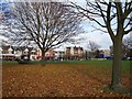
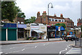
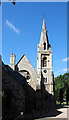
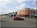
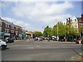
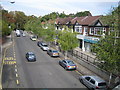
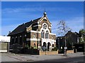
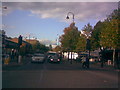
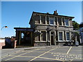
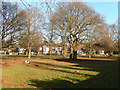
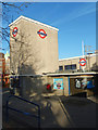
100 photos from this area
Area Information
Key information about the E11 2PR including its size, population, and administrative classification.
- Area Type
- Postcode
- Area Size
- 1.9 hectares
- Population
- 1649
- Population Density
- 9851 people/km²
House Prices in E11 2PR
7
Properties
£1,620,999
Average Sold Price
£1,620,999
Lowest Price
£1,620,999
Highest Price
Showing 7 properties
| Address | Type | Beds | Baths | Last Sale Price | Last Sale Date | |
|---|---|---|---|---|---|---|
| Cambridge House Nursing Home, 61 Cambridge Park, Wanstead, London, E11 2PR | hospital_care_home | - | - | £1,620,999 | Sep 2002 | |
| The Chestnuts, 63 Cambridge Park, Wanstead, London, E11 2PR | Retirement | - | - | - | - | |
| 55 Cambridge Park, Wanstead, London, E11 2PR | Detached | - | - | - | - | |
| 65 Cambridge Park, Wanstead, London, E11 2PR | hotel | - | - | - | - | |
| 57 Cambridge Park, Wanstead, London, E11 2PR | commercial | - | - | - | - | |
| The Presbytery, Roman Catholic Church Of Our Lady Of Lourdes, 51 Cambridge Park, Wanstead, London, E11 2PR | Semi-detached | - | - | - | - | |
| 63 Cambridge Park, Wanstead, London, E11 2PR | Retirement | - | - | - | - |
Energy Efficiency in E11 2PR
Amenities
Schools
| Rank | School | Type | Entry gender | Ages |
|---|
Explore more schools in this area
Go to Schools tabDemographics
Household Size
One person
most common
Accommodation Type
Houses
most common
Tenure
68
majority
Ethnic Group
White
most common
Religion
N/A
most common
Household Composition
N/A
most common
Age
47
median
Adults (30-64 years)
most common
Household Deprivation
N/A
with no deprivation
NS-SEC
52
in Lower managerial occupations
Explore more demographic insights in this area
Go to Demographics tabPlanning
Planning Constraints
- Flood RiskPremium
- Ramsar Wetland SitesPremium
- Area of Outstanding Natural BeautyPremium
- Protected Nature ReservePremium
- Protected WoodlandPremium