Area Overview for DA8 3AT
Photos of DA8 3AT

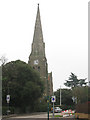
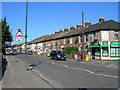
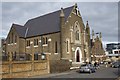
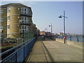
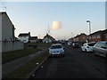
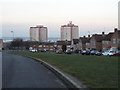

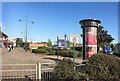
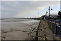
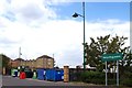
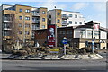
59 photos from this area
Area Information
Key information about the DA8 3AT including its size, population, and administrative classification.
- Area Type
- Postcode
- Area Size
- 5.0 hectares
- Population
- Not available
- Population Density
- Not available
House Prices in DA8 3AT
34
Properties
£290,746
Average Sold Price
£88,000
Lowest Price
£735,000
Highest Price
Showing 34 properties
| Address | Type | Beds | Baths | Last Sale Price | Last Sale Date | |
|---|---|---|---|---|---|---|
| 59 Avenue Road, Erith, DA8 3AT | Detached | 5 | 2 | £735,000 | Nov 2023 | |
| 107A Avenue Road, Erith, DA8 3AT | Semi-detached | 3 | 1 | £385,000 | Dec 2019 | |
| 99 Avenue Road, Erith, DA8 3AT | house | - | - | £410,000 | Mar 2018 | |
| 55 Avenue Road, Erith, DA8 3AT | Detached | 4 | - | £425,000 | Jan 2015 | |
| 53 Avenue Road, Erith, DA8 3AT | Detached | 4 | 2 | £410,000 | Aug 2011 | |
| 69 Avenue Road, Erith, DA8 3AT | Semi-detached | - | - | £235,000 | Aug 2009 | |
| 57 Avenue Road, Erith, DA8 3AT | Detached | 3 | 2 | £249,950 | Jan 2004 | |
| 73 Avenue Road, Erith, DA8 3AT | Detached | 3 | 2 | £280,000 | Oct 2002 | |
| 105 Avenue Road, Erith, DA8 3AT | Semi-detached | - | - | £91,000 | Sep 1997 | |
| 95 Avenue Road, Erith, DA8 3AT | Semi-detached | - | - | £92,000 | Feb 1996 |
Page 1 of 4
Energy Efficiency in DA8 3AT
Amenities
Schools
| Rank | School | Type | Entry gender | Ages |
|---|
Explore more schools in this area
Go to Schools tabDemographics
Household Size
One person
most common
Accommodation Type
Flats
most common
Tenure
45
majority
Ethnic Group
White
most common
Religion
N/A
most common
Household Composition
N/A
most common
Age
47
median
Adults (30-64 years)
most common
Household Deprivation
N/A
with no deprivation
NS-SEC
28
in Lower managerial occupations
Explore more demographic insights in this area
Go to Demographics tabPlanning
Planning Constraints
- Flood RiskPremium
- Ramsar Wetland SitesPremium
- Area of Outstanding Natural BeautyPremium
- Protected Nature ReservePremium
- Protected WoodlandPremium