Area Overview for DA7 6JE
Photos of DA7 6JE
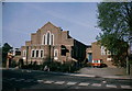
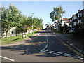
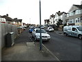
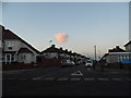
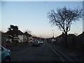
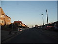
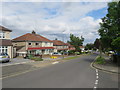
31 photos from this area
Area Information
Key information about the DA7 6JE including its size, population, and administrative classification.
- Area Type
- Postcode
- Area Size
- 2.0 hectares
- Population
- 1647
- Population Density
- 4209 people/km²
House Prices in DA7 6JE
33
Properties
£436,150
Average Sold Price
£89,500
Lowest Price
£657,000
Highest Price
Showing 33 properties
| Address | Type | Beds | Baths | Last Sale Price | Last Sale Date | |
|---|---|---|---|---|---|---|
| 88 Northall Road, Bexleyheath, DA7 6JE | Semi-detached | 4 | 2 | £475,000 | Feb 2024 | |
| 96 Northall Road, Bexleyheath, DA7 6JE | Semi-detached | 6 | 2 | £600,000 | Nov 2023 | |
| 110 Northall Road, Bexleyheath, DA7 6JE | Semi-detached | 3 | 1 | £527,000 | Sep 2023 | |
| 60 Northall Road, Bexleyheath, DA7 6JE | Semi-detached | 4 | 2 | £580,000 | Sep 2023 | |
| 90 Northall Road, Bexleyheath, DA7 6JE | house | 3 | 2 | £657,000 | Sep 2022 | |
| 116 Northall Road, Bexleyheath, DA7 6JE | Semi-detached | 4 | 2 | £600,000 | Aug 2022 | |
| 72 Northall Road, Bexleyheath, DA7 6JE | house | - | - | £575,000 | Feb 2022 | |
| 54 Northall Road, Bexleyheath, DA7 6JE | house | - | - | £578,000 | Jun 2021 | |
| 58 Northall Road, Bexleyheath, DA7 6JE | house | - | - | £560,000 | Apr 2021 | |
| 86 Northall Road, Bexleyheath, DA7 6JE | Semi-detached | 4 | 2 | £535,000 | Jan 2021 |
Page 1 of 4
Energy Efficiency in DA7 6JE
Amenities
Schools
| Rank | School | Type | Entry gender | Ages |
|---|
Explore more schools in this area
Go to Schools tabDemographics
Household Size
Family (3-5 people)
most common
Accommodation Type
Houses
most common
Tenure
93
majority
Ethnic Group
White
most common
Religion
N/A
most common
Household Composition
N/A
most common
Age
47
median
Adults (30-64 years)
most common
Household Deprivation
N/A
with no deprivation
NS-SEC
39
in Lower managerial occupations
Explore more demographic insights in this area
Go to Demographics tabPlanning
Planning Constraints
- Flood RiskPremium
- Ramsar Wetland SitesPremium
- Area of Outstanding Natural BeautyPremium
- Protected Nature ReservePremium
- Protected WoodlandPremium