Area Overview for DA7 6HB
Photos of DA7 6HB
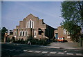
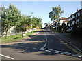
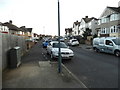
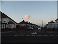
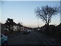
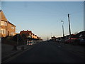
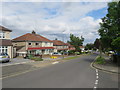
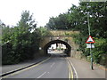
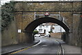
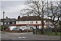
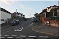
31 photos from this area
Area Information
Key information about the DA7 6HB including its size, population, and administrative classification.
- Area Type
- Postcode
- Area Size
- 6683 m²
- Population
- 1647
- Population Density
- 4209 people/km²
House Prices in DA7 6HB
12
Properties
£335,443
Average Sold Price
£124,000
Lowest Price
£553,000
Highest Price
Showing 12 properties
| Address | Type | Beds | Baths | Last Sale Price | Last Sale Date | |
|---|---|---|---|---|---|---|
| 68 Barnehurst Road, Bexleyheath, DA7 6HB | house | 3 | 1 | £553,000 | Oct 2025 | |
| 72 Barnehurst Road, Bexleyheath, DA7 6HB | Semi-detached | 3 | 1 | £430,000 | Dec 2018 | |
| 78 Barnehurst Road, Bexleyheath, DA7 6HB | Semi-detached | 3 | - | £250,000 | Nov 2013 | |
| 74 Barnehurst Road, Bexleyheath, DA7 6HB | Semi-detached | 3 | - | £247,000 | Jul 2013 | |
| 90 Barnehurst Road, Bexleyheath, DA7 6HB | house | 5 | - | £500,000 | Feb 2013 | |
| 84 Barnehurst Road, Bexleyheath, DA7 6HB | house | - | - | £379,995 | Aug 2011 | |
| 76 Barnehurst Road, Bexleyheath, DA7 6HB | Semi-detached | - | - | £250,000 | Feb 2008 | |
| 80 Barnehurst Road, Bexleyheath, DA7 6HB | Semi-detached | - | - | £284,995 | Sep 2007 | |
| 88 Barnehurst Road, Bexleyheath, DA7 6HB | Detached | - | - | £124,000 | Nov 1997 | |
| 82 Barnehurst Road, Bexleyheath, DA7 6HB | Semi-detached | - | - | - | - |
Page 1 of 2
Energy Efficiency in DA7 6HB
Amenities
Schools
| Rank | School | Type | Entry gender | Ages |
|---|
Explore more schools in this area
Go to Schools tabDemographics
Household Size
Family (3-5 people)
most common
Accommodation Type
Houses
most common
Tenure
93
majority
Ethnic Group
White
most common
Religion
N/A
most common
Household Composition
N/A
most common
Age
47
median
Adults (30-64 years)
most common
Household Deprivation
N/A
with no deprivation
NS-SEC
39
in Lower managerial occupations
Explore more demographic insights in this area
Go to Demographics tabPlanning
Planning Constraints
- Flood RiskPremium
- Ramsar Wetland SitesPremium
- Area of Outstanding Natural BeautyPremium
- Protected Nature ReservePremium
- Protected WoodlandPremium