Area Overview for DA7 5SJ
Photos of DA7 5SJ
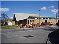
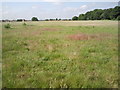
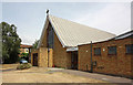
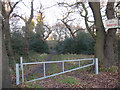
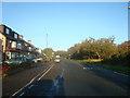
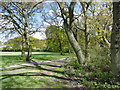
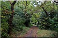
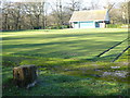
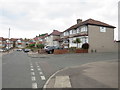
59 photos from this area
Area Information
Key information about the DA7 5SJ including its size, population, and administrative classification.
- Area Type
- Postcode
- Area Size
- 1.3 hectares
- Population
- 1495
- Population Density
- 5669 people/km²
House Prices in DA7 5SJ
27
Properties
£321,618
Average Sold Price
£125,000
Lowest Price
£485,000
Highest Price
Showing 27 properties
| Address | Type | Beds | Baths | Last Sale Price | Last Sale Date | |
|---|---|---|---|---|---|---|
| 18 Lessness Avenue, Bexleyheath, DA7 5SJ | Semi-detached | 3 | 2 | £485,000 | Dec 2024 | |
| 12 Lessness Avenue, Bexleyheath, DA7 5SJ | Semi-detached | 3 | 1 | £422,000 | Mar 2020 | |
| 20 Lessness Avenue, Bexleyheath, DA7 5SJ | Semi-detached | 3 | 1 | £445,000 | Nov 2018 | |
| 52A Lessness Avenue, Bexleyheath, DA7 5SJ | Flat | 1 | 1 | £192,000 | Sep 2018 | |
| 36 Lessness Avenue, Bexleyheath, DA7 5SJ | Semi-detached | 4 | 2 | £412,500 | Mar 2017 | |
| 2 Lessness Avenue, Bexleyheath, DA7 5SJ | Semi-detached | 3 | - | £425,000 | Nov 2016 | |
| 16 Lessness Avenue, Bexleyheath, DA7 5SJ | Semi-detached | 3 | - | £420,000 | Aug 2016 | |
| 8 Lessness Avenue, Bexleyheath, DA7 5SJ | house | - | - | £335,000 | Dec 2014 | |
| 38 Lessness Avenue, Bexleyheath, DA7 5SJ | house | - | - | £336,000 | Mar 2014 | |
| 6 Lessness Avenue, Bexleyheath, DA7 5SJ | house | - | - | £342,500 | Nov 2010 |
Page 1 of 3
Energy Efficiency in DA7 5SJ
Amenities
Schools
| Rank | School | Type | Entry gender | Ages |
|---|
Explore more schools in this area
Go to Schools tabDemographics
Household Size
Family (3-5 people)
most common
Accommodation Type
Houses
most common
Tenure
90
majority
Ethnic Group
White
most common
Religion
N/A
most common
Household Composition
N/A
most common
Age
47
median
Adults (30-64 years)
most common
Household Deprivation
N/A
with no deprivation
NS-SEC
31
in Lower managerial occupations
Explore more demographic insights in this area
Go to Demographics tabPlanning
Planning Constraints
- Flood RiskPremium
- Ramsar Wetland SitesPremium
- Area of Outstanding Natural BeautyPremium
- Protected Nature ReservePremium
- Protected WoodlandPremium