Area Overview for DA5 3QN
Photos of DA5 3QN
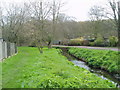
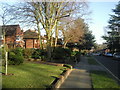
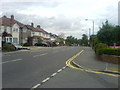
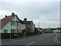
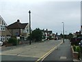
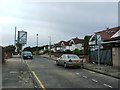
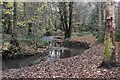
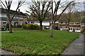
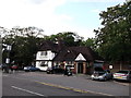
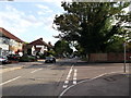
34 photos from this area
Area Information
Key information about the DA5 3QN including its size, population, and administrative classification.
- Area Type
- Postcode
- Area Size
- 2.2 hectares
- Population
- 1346
- Population Density
- 2955 people/km²
House Prices in DA5 3QN
40
Properties
£411,690
Average Sold Price
£97,000
Lowest Price
£820,000
Highest Price
Showing 40 properties
| Address | Type | Beds | Baths | Last Sale Price | Last Sale Date | |
|---|---|---|---|---|---|---|
| 124 Glenhurst Avenue, Bexley, DA5 3QN | Semi-detached | 4 | 1 | £755,000 | Jun 2025 | |
| 88 Glenhurst Avenue, Bexley, DA5 3QN | house | - | - | £607,000 | Aug 2021 | |
| 126 Glenhurst Avenue, Bexley, DA5 3QN | house | - | - | £770,000 | Feb 2021 | |
| 60 Glenhurst Avenue, Bexley, DA5 3QN | Semi-detached | 3 | 1 | £528,500 | Dec 2018 | |
| 140 Glenhurst Avenue, Bexley, DA5 3QN | Detached | 4 | 2 | £820,000 | Sep 2018 | |
| 120 Glenhurst Avenue, Bexley, DA5 3QN | Semi-detached | 5 | 3 | £710,000 | Sep 2017 | |
| 70 Glenhurst Avenue, Bexley, DA5 3QN | house | - | - | £650,000 | Aug 2017 | |
| 68 Glenhurst Avenue, Bexley, DA5 3QN | Semi-detached | 4 | - | £650,000 | Aug 2016 | |
| 64 Glenhurst Avenue, Bexley, DA5 3QN | Semi-detached | 3 | - | £480,000 | May 2015 | |
| 82 Glenhurst Avenue, Bexley, DA5 3QN | Detached | 3 | 1 | £462,000 | Dec 2014 |
Page 1 of 4
Energy Efficiency in DA5 3QN
Amenities
Schools
| Rank | School | Type | Entry gender | Ages |
|---|
Explore more schools in this area
Go to Schools tabDemographics
Household Size
Family (3-5 people)
most common
Accommodation Type
Houses
most common
Tenure
95
majority
Ethnic Group
White
most common
Religion
N/A
most common
Household Composition
N/A
most common
Age
47
median
Adults (30-64 years)
most common
Household Deprivation
N/A
with no deprivation
NS-SEC
46
in Lower managerial occupations
Explore more demographic insights in this area
Go to Demographics tabPlanning
Planning Constraints
- Flood RiskPremium
- Ramsar Wetland SitesPremium
- Area of Outstanding Natural BeautyPremium
- Protected Nature ReservePremium
- Protected WoodlandPremium