Area Overview for DA5 3QH
Photos of DA5 3QH
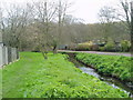
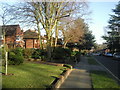
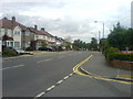
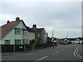
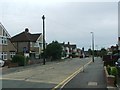
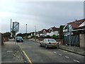
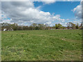
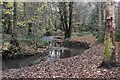
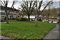
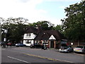
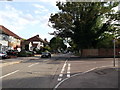
34 photos from this area
Area Information
Key information about the DA5 3QH including its size, population, and administrative classification.
- Area Type
- Postcode
- Area Size
- 2.3 hectares
- Population
- 1346
- Population Density
- 2955 people/km²
House Prices in DA5 3QH
38
Properties
£394,867
Average Sold Price
£107,000
Lowest Price
£735,000
Highest Price
Showing 38 properties
| Address | Type | Beds | Baths | Last Sale Price | Last Sale Date | |
|---|---|---|---|---|---|---|
| 49 Glenhurst Avenue, Bexley, DA5 3QH | Semi-detached | 4 | 1 | £620,000 | Jun 2024 | |
| 61 Glenhurst Avenue, Bexley, DA5 3QH | Semi-detached | 3 | 1 | £630,000 | Mar 2021 | |
| 51 Glenhurst Avenue, Bexley, DA5 3QH | house | - | - | £735,000 | Nov 2020 | |
| 43 Glenhurst Avenue, Bexley, DA5 3QH | house | - | - | £625,000 | Dec 2018 | |
| 39 Glenhurst Avenue, Bexley, DA5 3QH | house | - | - | £705,000 | Aug 2016 | |
| 29 Glenhurst Avenue, Bexley, DA5 3QH | house | - | - | £605,000 | Sep 2015 | |
| 63 Glenhurst Avenue, Bexley, DA5 3QH | Semi-detached | 3 | 1 | £539,000 | Aug 2015 | |
| 69 Glenhurst Avenue, Bexley, DA5 3QH | Semi-detached | 4 | 1 | £540,000 | Jul 2015 | |
| 55 Glenhurst Avenue, Bexley, DA5 3QH | house | 4 | - | £450,000 | May 2011 | |
| 57 Glenhurst Avenue, Bexley, DA5 3QH | house | - | - | £380,000 | Mar 2011 |
Page 1 of 4
Energy Efficiency in DA5 3QH
Amenities
Schools
| Rank | School | Type | Entry gender | Ages |
|---|
Explore more schools in this area
Go to Schools tabDemographics
Household Size
Family (3-5 people)
most common
Accommodation Type
Houses
most common
Tenure
95
majority
Ethnic Group
White
most common
Religion
N/A
most common
Household Composition
N/A
most common
Age
47
median
Adults (30-64 years)
most common
Household Deprivation
N/A
with no deprivation
NS-SEC
46
in Lower managerial occupations
Explore more demographic insights in this area
Go to Demographics tabPlanning
Planning Constraints
- Flood RiskPremium
- Ramsar Wetland SitesPremium
- Area of Outstanding Natural BeautyPremium
- Protected Nature ReservePremium
- Protected WoodlandPremium