Area Overview for DA16 2HW
Photos of DA16 2HW

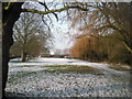
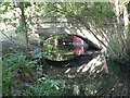
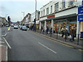
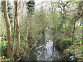
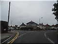
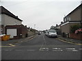
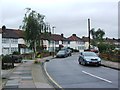
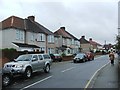
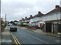
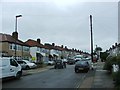
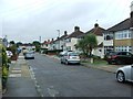
83 photos from this area
Area Information
Key information about the DA16 2HW including its size, population, and administrative classification.
- Area Type
- Postcode
- Area Size
- 1.3 hectares
- Population
- 1494
- Population Density
- 7814 people/km²
House Prices in DA16 2HW
30
Properties
£300,412
Average Sold Price
£90,000
Lowest Price
£540,000
Highest Price
Showing 30 properties
| Address | Type | Beds | Baths | Last Sale Price | Last Sale Date | |
|---|---|---|---|---|---|---|
| 242 Westwood Lane, Welling, DA16 2HW | house | - | - | £540,000 | Oct 2025 | |
| 216 Westwood Lane, Welling, DA16 2HW | Semi-detached | 3 | 2 | £460,000 | Oct 2024 | |
| 190 Westwood Lane, Welling, DA16 2HW | Semi-detached | 2 | 1 | £440,000 | Dec 2023 | |
| 210 Westwood Lane, Welling, DA16 2HW | Semi-detached | 2 | 1 | £340,000 | Jul 2023 | |
| 212 Westwood Lane, Welling, DA16 2HW | Semi-detached | 2 | 1 | £472,500 | Aug 2022 | |
| 204 Westwood Lane, Welling, DA16 2HW | house | - | - | £225,000 | Jul 2022 | |
| 236 Westwood Lane, Welling, DA16 2HW | Semi-detached | 3 | 2 | £432,000 | May 2021 | |
| 238 Westwood Lane, Welling, DA16 2HW | house | - | - | £455,000 | Apr 2021 | |
| 188 Westwood Lane, Welling, DA16 2HW | Bungalow | 2 | 2 | £455,000 | May 2020 | |
| 214 Westwood Lane, Welling, DA16 2HW | Semi-detached | 3 | 1 | £360,000 | Mar 2020 |
Page 1 of 3
Energy Efficiency in DA16 2HW
Amenities
Schools
| Rank | School | Type | Entry gender | Ages |
|---|
Explore more schools in this area
Go to Schools tabDemographics
Household Size
Family (3-5 people)
most common
Accommodation Type
Houses
most common
Tenure
91
majority
Ethnic Group
White
most common
Religion
N/A
most common
Household Composition
N/A
most common
Age
47
median
Adults (30-64 years)
most common
Household Deprivation
N/A
with no deprivation
NS-SEC
33
in Lower managerial occupations
Explore more demographic insights in this area
Go to Demographics tabPlanning
Planning Constraints
- Flood RiskPremium
- Ramsar Wetland SitesPremium
- Area of Outstanding Natural BeautyPremium
- Protected Nature ReservePremium
- Protected WoodlandPremium