Area Overview for DA14 6LN
Photos of DA14 6LN
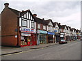
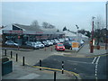
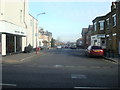
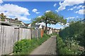
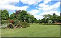
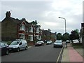
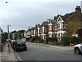
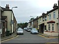
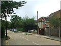
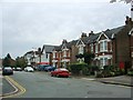
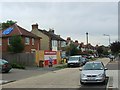
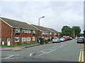
76 photos from this area
Area Information
Key information about the DA14 6LN including its size, population, and administrative classification.
- Area Type
- Postcode
- Area Size
- 2.0 hectares
- Population
- 1719
- Population Density
- 5734 people/km²
House Prices in DA14 6LN
50
Properties
£185,232
Average Sold Price
£57,500
Lowest Price
£260,000
Highest Price
Showing 50 properties
| Address | Type | Beds | Baths | Last Sale Price | Last Sale Date | |
|---|---|---|---|---|---|---|
| 19 Etfield Grove, Sidcup, DA14 6LN | Maisonette | - | - | £230,000 | Dec 2024 | |
| 1 Etfield Grove, Sidcup, DA14 6LN | Maisonette | 3 | - | £248,000 | Feb 2021 | |
| 2 Etfield Grove, Sidcup, DA14 6LN | Flat | - | - | £242,500 | Jul 2020 | |
| 35 Etfield Grove, Sidcup, DA14 6LN | Maisonette | 2 | 1 | £225,000 | Mar 2020 | |
| 18 Etfield Grove, Sidcup, DA14 6LN | Maisonette | - | - | £213,500 | Jan 2020 | |
| 33 Etfield Grove, Sidcup, DA14 6LN | Flat | - | - | £205,000 | Jan 2019 | |
| 4 Etfield Grove, Sidcup, DA14 6LN | Flat | 2 | 1 | £230,000 | Nov 2018 | |
| 13 Etfield Grove, Sidcup, DA14 6LN | Maisonette | - | - | £260,000 | Oct 2018 | |
| 17 Etfield Grove, Sidcup, DA14 6LN | Maisonette | 3 | 1 | £240,000 | Jun 2018 | |
| 15 Etfield Grove, Sidcup, DA14 6LN | Maisonette | 2 | 1 | £219,000 | Feb 2018 |
Page 1 of 5
Energy Efficiency in DA14 6LN
Amenities
Schools
| Rank | School | Type | Entry gender | Ages |
|---|
Explore more schools in this area
Go to Schools tabDemographics
Household Size
Family (3-5 people)
most common
Accommodation Type
Houses
most common
Tenure
66
majority
Ethnic Group
White
most common
Religion
N/A
most common
Household Composition
N/A
most common
Age
47
median
Adults (30-64 years)
most common
Household Deprivation
N/A
with no deprivation
NS-SEC
39
in Lower managerial occupations
Explore more demographic insights in this area
Go to Demographics tabPlanning
Planning Constraints
- Flood RiskPremium
- Ramsar Wetland SitesPremium
- Area of Outstanding Natural BeautyPremium
- Protected Nature ReservePremium
- Protected WoodlandPremium