Area Overview for CR8 2HL
Photos of CR8 2HL
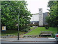
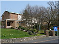
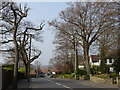
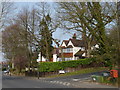
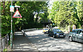
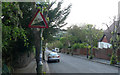
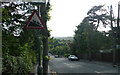
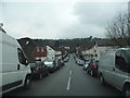
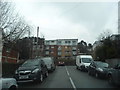
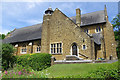
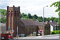
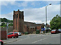
32 photos from this area
Area Information
Key information about the CR8 2HL including its size, population, and administrative classification.
- Area Type
- Postcode
- Area Size
- 1.5 hectares
- Population
- Not available
- Population Density
- Not available
House Prices in CR8 2HL
24
Properties
£629,150
Average Sold Price
£357,000
Lowest Price
£875,000
Highest Price
Showing 24 properties
| Address | Type | Beds | Baths | Last Sale Price | Last Sale Date | |
|---|---|---|---|---|---|---|
| 110 Higher Drive, Purley, CR8 2HL | Bungalow | 3 | - | £875,000 | Aug 2022 | |
| 102 Higher Drive, Purley, CR8 2HL | house | - | - | £775,000 | Jul 2022 | |
| 120 Higher Drive, Purley, CR8 2HL | Detached | 4 | - | £782,000 | Sep 2021 | |
| 116 Higher Drive, Purley, CR8 2HL | Detached | 4 | 1 | £737,500 | Apr 2021 | |
| 106 Higher Drive, Purley, CR8 2HL | house | 5 | 2 | £660,000 | Aug 2016 | |
| 118 Higher Drive, Purley, CR8 2HL | Detached | 4 | - | £575,000 | Jul 2014 | |
| 114 Higher Drive, Purley, CR8 2HL | house | - | - | £415,000 | Mar 2013 | |
| 100 Higher Drive, Purley, CR8 2HL | Detached | - | - | £620,000 | Feb 2009 | |
| 96 Higher Drive, Purley, CR8 2HL | Detached | - | - | £495,000 | Jul 2006 | |
| 104 Higher Drive, Purley, CR8 2HL | Detached | - | - | £357,000 | Jan 2006 |
Page 1 of 3
Energy Efficiency in CR8 2HL
Amenities
Schools
| Rank | School | Type | Entry gender | Ages |
|---|
Explore more schools in this area
Go to Schools tabDemographics
Household Size
Family (3-5 people)
most common
Accommodation Type
Houses
most common
Tenure
94
majority
Ethnic Group
White
most common
Religion
N/A
most common
Household Composition
N/A
most common
Age
47
median
Adults (30-64 years)
most common
Household Deprivation
N/A
with no deprivation
NS-SEC
52
in Lower managerial occupations
Explore more demographic insights in this area
Go to Demographics tabPlanning
Planning Constraints
- Flood RiskPremium
- Ramsar Wetland SitesPremium
- Area of Outstanding Natural BeautyPremium
- Protected Nature ReservePremium
- Protected WoodlandPremium