Area Overview for CR7 8LA
Photos of CR7 8LA
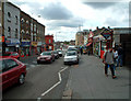

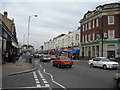
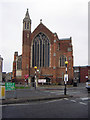
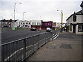
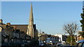
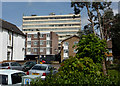
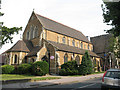
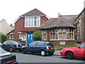
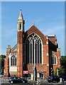

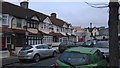
100 photos from this area
Area Information
Key information about the CR7 8LA including its size, population, and administrative classification.
- Area Type
- Postcode
- Area Size
- 4524 m²
- Population
- 1961
- Population Density
- 11129 people/km²
House Prices in CR7 8LA
33
Properties
£227,897
Average Sold Price
£38,000
Lowest Price
£360,000
Highest Price
Showing 33 properties
| Address | Type | Beds | Baths | Last Sale Price | Last Sale Date | |
|---|---|---|---|---|---|---|
| 42 The Drive, Thornton Heath, CR7 8LA | Terraced | 2 | 1 | £350,000 | Dec 2024 | |
| 40 The Drive, Thornton Heath, CR7 8LA | Terraced | 2 | 1 | £330,000 | Dec 2023 | |
| 32 The Drive, Thornton Heath, CR7 8LA | house | 1 | - | £310,000 | May 2023 | |
| 18 The Drive, Thornton Heath, CR7 8LA | house | 2 | - | £340,250 | Feb 2023 | |
| 38 The Drive, Thornton Heath, CR7 8LA | house | - | - | £316,000 | Jan 2023 | |
| 36 The Drive, Thornton Heath, CR7 8LA | Terraced | 2 | 1 | £360,000 | Apr 2022 | |
| 10 The Drive, Thornton Heath, CR7 8LA | Terraced | 2 | 1 | £300,000 | Dec 2019 | |
| 28 The Drive, Thornton Heath, CR7 8LA | Terraced | 2 | 1 | £215,000 | Mar 2015 | |
| 12 The Drive, Thornton Heath, CR7 8LA | house | - | - | £163,000 | Dec 2010 | |
| 16 The Drive, Thornton Heath, CR7 8LA | Terraced | 2 | 1 | £168,000 | Sep 2010 |
Page 1 of 4
Energy Efficiency in CR7 8LA
Amenities
Schools
| Rank | School | Type | Entry gender | Ages |
|---|
Explore more schools in this area
Go to Schools tabDemographics
Household Size
Family (3-5 people)
most common
Accommodation Type
Houses
most common
Tenure
47
majority
Ethnic Group
black_total
most common
Religion
N/A
most common
Household Composition
N/A
most common
Age
47
median
Adults (30-64 years)
most common
Household Deprivation
N/A
with no deprivation
NS-SEC
26
in Lower managerial occupations
Explore more demographic insights in this area
Go to Demographics tabPlanning
Planning Constraints
- Flood RiskPremium
- Ramsar Wetland SitesPremium
- Area of Outstanding Natural BeautyPremium
- Protected Nature ReservePremium
- Protected WoodlandPremium