Area Overview for CR4 2ET
Photos of CR4 2ET
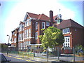
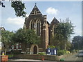

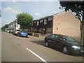
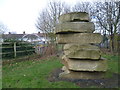
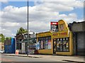
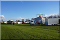
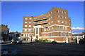
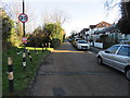
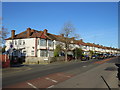
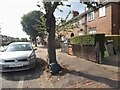
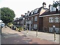
63 photos from this area
Area Information
Key information about the CR4 2ET including its size, population, and administrative classification.
- Area Type
- Postcode
- Area Size
- 2.5 hectares
- Population
- Not available
- Population Density
- Not available
House Prices in CR4 2ET
36
Properties
£376,206
Average Sold Price
£52,000
Lowest Price
£800,000
Highest Price
Showing 36 properties
| Address | Type | Beds | Baths | Last Sale Price | Last Sale Date | |
|---|---|---|---|---|---|---|
| 7 Ridge Road, Mitcham, CR4 2ET | Terraced | 3 | 1 | £710,000 | Sep 2025 | |
| 23 Ridge Road, Mitcham, CR4 2ET | house | - | - | £530,000 | Sep 2023 | |
| 6 RIDGE ROAD, Mitcham, CR4 2ET | Terraced | 4 | - | £800,000 | Jun 2021 | |
| 21 Ridge Road, Mitcham, CR4 2ET | house | - | - | £700,000 | Mar 2021 | |
| 20 Ridge Road, Mitcham, CR4 2ET | house | - | - | £500,000 | Mar 2021 | |
| 2 Ridge Road, Mitcham, CR4 2ET | Semi-detached | 2 | 1 | £470,000 | Mar 2021 | |
| 4 Ridge Road, Mitcham, CR4 2ET | Bungalow | 3 | 1 | £450,000 | Feb 2021 | |
| 1B Ridge Road, Mitcham, CR4 2ET | Maisonette | 3 | 1 | £580,000 | Jul 2020 | |
| 1A Ridge Road, Mitcham, CR4 2ET | Flat | - | - | £550,000 | Jun 2020 | |
| 24 Ridge Road, Mitcham, CR4 2ET | Terraced | 3 | 1 | £600,000 | Jan 2019 |
Page 1 of 4
Energy Efficiency in CR4 2ET
Amenities
Schools
| Rank | School | Type | Entry gender | Ages |
|---|
Explore more schools in this area
Go to Schools tabDemographics
Household Size
Family (3-5 people)
most common
Accommodation Type
Houses
most common
Tenure
61
majority
Ethnic Group
White
most common
Religion
N/A
most common
Household Composition
N/A
most common
Age
47
median
Adults (30-64 years)
most common
Household Deprivation
N/A
with no deprivation
NS-SEC
35
in Lower managerial occupations
Explore more demographic insights in this area
Go to Demographics tabPlanning
Planning Constraints
- Flood RiskPremium
- Ramsar Wetland SitesPremium
- Area of Outstanding Natural BeautyPremium
- Protected Nature ReservePremium
- Protected WoodlandPremium