Area Overview for CR4 2BG
Photos of CR4 2BG
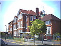
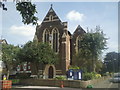
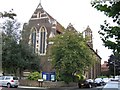
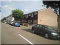
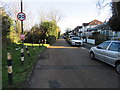
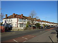
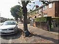
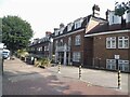
63 photos from this area
Area Information
Key information about the CR4 2BG including its size, population, and administrative classification.
- Area Type
- Postcode
- Area Size
- 5206 m²
- Population
- 1620
- Population Density
- 21012 people/km²
House Prices in CR4 2BG
42
Properties
£309,348
Average Sold Price
£108,500
Lowest Price
£760,000
Highest Price
Showing 42 properties
| Address | Type | Beds | Baths | Last Sale Price | Last Sale Date | |
|---|---|---|---|---|---|---|
| 24 Bruce Road, Mitcham, CR4 2BG | Terraced | 3 | 1 | £760,000 | Jul 2024 | |
| 4 Bruce Road, Mitcham, CR4 2BG | Maisonette | 1 | 1 | £369,950 | Apr 2024 | |
| 12A Bruce Road, Mitcham, CR4 2BG | Flat | 1 | 1 | £335,000 | Jan 2022 | |
| 36 Bruce Road, Mitcham, CR4 2BG | Terraced | 5 | 2 | £555,000 | Jun 2021 | |
| 32 Bruce Road, Mitcham, CR4 2BG | Terraced | 3 | 1 | £590,000 | Apr 2019 | |
| 44A Bruce Road, Mitcham, CR4 2BG | Flat | 1 | 1 | £487,000 | May 2017 | |
| 66A Bruce Road, Mitcham, CR4 2BG | Flat | - | - | £180,000 | Jul 2012 | |
| 26 Bruce Road, Mitcham, CR4 2BG | Terraced | 3 | - | £330,000 | May 2012 | |
| 20 Bruce Road, Mitcham, CR4 2BG | house | - | - | £270,000 | Dec 2010 | |
| 48 Bruce Road, Mitcham, CR4 2BG | house | - | - | £195,000 | Jul 2010 |
Page 1 of 5
Energy Efficiency in CR4 2BG
Amenities
Schools
| Rank | School | Type | Entry gender | Ages |
|---|
Explore more schools in this area
Go to Schools tabDemographics
Household Size
Family (3-5 people)
most common
Accommodation Type
Flats
most common
Tenure
38
majority
Ethnic Group
White
most common
Religion
N/A
most common
Household Composition
N/A
most common
Age
47
median
Adults (30-64 years)
most common
Household Deprivation
N/A
with no deprivation
NS-SEC
38
in Lower managerial occupations
Explore more demographic insights in this area
Go to Demographics tabPlanning
Planning Constraints
- Flood RiskPremium
- Ramsar Wetland SitesPremium
- Area of Outstanding Natural BeautyPremium
- Protected Nature ReservePremium
- Protected WoodlandPremium