Area Overview for CR2 6HF
Photos of CR2 6HF
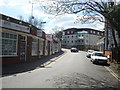
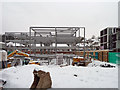
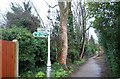
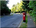
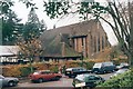
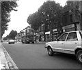
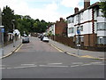
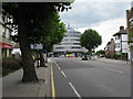
88 photos from this area
Area Information
Key information about the CR2 6HF including its size, population, and administrative classification.
- Area Type
- Postcode
- Area Size
- 4898 m²
- Population
- 1669
- Population Density
- 5591 people/km²
House Prices in CR2 6HF
21
Properties
£315,497
Average Sold Price
£56,500
Lowest Price
£490,000
Highest Price
Showing 21 properties
| Address | Type | Beds | Baths | Last Sale Price | Last Sale Date | |
|---|---|---|---|---|---|---|
| 99 Churchill Road, South Croydon, CR2 6HF | Terraced | 3 | 1 | £423,000 | Feb 2025 | |
| 75 Churchill Road, South Croydon, CR2 6HF | Terraced | 2 | 1 | £425,000 | Oct 2023 | |
| 111 Churchill Road, South Croydon, CR2 6HF | Terraced | 3 | 1 | £480,000 | Feb 2023 | |
| 71 Churchill Road, South Croydon, CR2 6HF | Terraced | 2 | 1 | £390,000 | Aug 2020 | |
| 79 Churchill Road, South Croydon, CR2 6HF | Semi-detached | 3 | 1 | £450,000 | Jul 2020 | |
| 105 Churchill Road, South Croydon, CR2 6HF | Terraced | 4 | 2 | £490,000 | Feb 2018 | |
| 83 Churchill Road, South Croydon, CR2 6HF | Detached | 2 | 1 | £370,000 | Feb 2017 | |
| 95 Churchill Road, South Croydon, CR2 6HF | Terraced | 3 | 1 | £390,000 | Dec 2016 | |
| 103 Churchill Road, South Croydon, CR2 6HF | house | - | - | £346,000 | Feb 2014 | |
| 77 Churchill Road, South Croydon, CR2 6HF | house | - | - | £250,000 | Jan 2006 |
Page 1 of 3
Energy Efficiency in CR2 6HF
Amenities
Schools
| Rank | School | Type | Entry gender | Ages |
|---|
Explore more schools in this area
Go to Schools tabDemographics
Household Size
Family (3-5 people)
most common
Accommodation Type
Houses
most common
Tenure
62
majority
Ethnic Group
White
most common
Religion
N/A
most common
Household Composition
N/A
most common
Age
47
median
Adults (30-64 years)
most common
Household Deprivation
N/A
with no deprivation
NS-SEC
42
in Lower managerial occupations
Explore more demographic insights in this area
Go to Demographics tabPlanning
Planning Constraints
- Flood RiskPremium
- Ramsar Wetland SitesPremium
- Area of Outstanding Natural BeautyPremium
- Protected Nature ReservePremium
- Protected WoodlandPremium