Area Overview for CR2 6AL
Photos of CR2 6AL
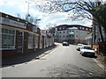
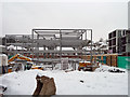
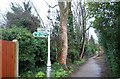
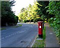
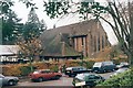
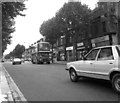
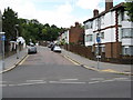
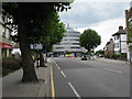
88 photos from this area
Area Information
Key information about the CR2 6AL including its size, population, and administrative classification.
- Area Type
- Postcode
- Area Size
- 5746 m²
- Population
- 1669
- Population Density
- 5591 people/km²
House Prices in CR2 6AL
66
Properties
£349,833
Average Sold Price
£67,000
Lowest Price
£651,000
Highest Price
Showing 66 properties
| Address | Type | Beds | Baths | Last Sale Price | Last Sale Date | |
|---|---|---|---|---|---|---|
| 382 Brighton Road, South Croydon, CR2 6AL | Semi-detached | 3 | 1 | £455,000 | Oct 2023 | |
| 370 Brighton Road, South Croydon, CR2 6AL | Detached | 4 | 2 | £450,000 | Apr 2023 | |
| First Floor Flat, 370 Brighton Road, South Croydon, CR2 6AL | Detached | 3 | 1 | £450,000 | Apr 2023 | |
| 388 Brighton Road, South Croydon, CR2 6AL | Terraced | 3 | 1 | £515,000 | Nov 2022 | |
| 374 Brighton Road, South Croydon, CR2 6AL | house | 3 | 2 | £500,000 | Nov 2022 | |
| 368 Brighton Road, South Croydon, CR2 6AL | Detached | 4 | 1 | £651,000 | Mar 2022 | |
| 380 Brighton Road, South Croydon, CR2 6AL | Detached | 3 | 2 | £495,000 | Mar 2018 | |
| 386 Brighton Road, South Croydon, CR2 6AL | Terraced | 1 | 3 | £310,000 | Jun 2015 | |
| 372 Brighton Road, South Croydon, CR2 6AL | Semi-detached | 3 | - | £360,000 | Mar 2015 | |
| 366A Brighton Road, South Croydon, CR2 6AL | Flat | - | - | £180,000 | Jun 2014 |
Page 1 of 7
Energy Efficiency in CR2 6AL
Amenities
Schools
| Rank | School | Type | Entry gender | Ages |
|---|
Explore more schools in this area
Go to Schools tabDemographics
Household Size
Family (3-5 people)
most common
Accommodation Type
Houses
most common
Tenure
62
majority
Ethnic Group
White
most common
Religion
N/A
most common
Household Composition
N/A
most common
Age
47
median
Adults (30-64 years)
most common
Household Deprivation
N/A
with no deprivation
NS-SEC
42
in Lower managerial occupations
Explore more demographic insights in this area
Go to Demographics tabPlanning
Planning Constraints
- Flood RiskPremium
- Ramsar Wetland SitesPremium
- Area of Outstanding Natural BeautyPremium
- Protected Nature ReservePremium
- Protected WoodlandPremium