Area Overview for CR2 0LJ
Photos of CR2 0LJ
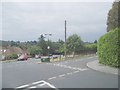
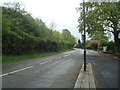
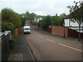
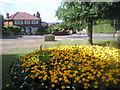
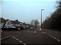
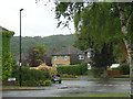
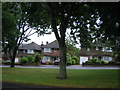
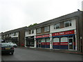
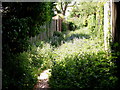
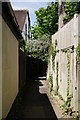
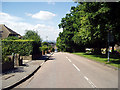
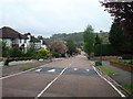
24 photos from this area
Area Information
Key information about the CR2 0LJ including its size, population, and administrative classification.
- Area Type
- Postcode
- Area Size
- 1.9 hectares
- Population
- Not available
- Population Density
- Not available
House Prices in CR2 0LJ
17
Properties
£948,000
Average Sold Price
£750,000
Lowest Price
£1,300,000
Highest Price
Showing 17 properties
| Address | Type | Beds | Baths | Last Sale Price | Last Sale Date | |
|---|---|---|---|---|---|---|
| 41 The Ridge Way, South Croydon, CR2 0LJ | Detached | 4 | - | £950,000 | Apr 2025 | |
| 51 The Ridge Way, South Croydon, CR2 0LJ | house | - | - | £1,020,000 | Jul 2023 | |
| 21 The Ridge Way, South Croydon, CR2 0LJ | house | - | - | £1,300,000 | Jan 2022 | |
| 49 The Ridge Way, South Croydon, CR2 0LJ | house | - | - | £944,000 | Sep 2021 | |
| 37 The Ridge Way, South Croydon, CR2 0LJ | Detached | 4 | 1 | £815,000 | May 2018 | |
| 31 The Ridge Way, South Croydon, CR2 0LJ | Bungalow | - | - | £755,000 | Sep 2017 | |
| 35 The Ridge Way, South Croydon, CR2 0LJ | house | - | - | £1,050,000 | Sep 2015 | |
| 43 The Ridge Way, South Croydon, CR2 0LJ | Detached | 4 | 2 | £750,000 | May 2015 | |
| Valanne House, 23 The Ridge Way, South Croydon, CR2 0LJ | Detached | 5 | 3 | - | - | |
| 25 The Ridge Way, South Croydon, CR2 0LJ | Detached | - | - | - | - |
Page 1 of 2
Energy Efficiency in CR2 0LJ
Amenities
Schools
| Rank | School | Type | Entry gender | Ages |
|---|
Explore more schools in this area
Go to Schools tabDemographics
Household Size
Two person
most common
Accommodation Type
Houses
most common
Tenure
81
majority
Ethnic Group
White
most common
Religion
N/A
most common
Household Composition
N/A
most common
Age
47
median
Adults (30-64 years)
most common
Household Deprivation
N/A
with no deprivation
NS-SEC
53
in Lower managerial occupations
Explore more demographic insights in this area
Go to Demographics tabPlanning
Planning Constraints
- Flood RiskPremium
- Ramsar Wetland SitesPremium
- Area of Outstanding Natural BeautyPremium
- Protected Nature ReservePremium
- Protected WoodlandPremium