Area Overview for CR2 0EN
Photos of CR2 0EN
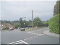
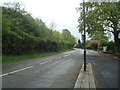
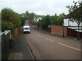
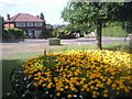
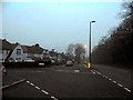
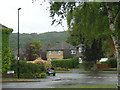
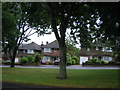
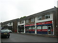
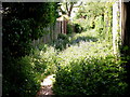
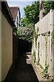
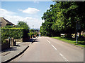
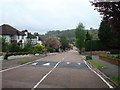
24 photos from this area
Area Information
Key information about the CR2 0EN including its size, population, and administrative classification.
- Area Type
- Postcode
- Area Size
- 1.7 hectares
- Population
- 1786
- Population Density
- 3283 people/km²
House Prices in CR2 0EN
23
Properties
£538,063
Average Sold Price
£130,000
Lowest Price
£795,000
Highest Price
Showing 23 properties
| Address | Type | Beds | Baths | Last Sale Price | Last Sale Date | |
|---|---|---|---|---|---|---|
| 12 Morley Road, South Croydon, CR2 0EN | Detached | 4 | 2 | £790,000 | Mar 2024 | |
| 11 Morley Road, South Croydon, CR2 0EN | Detached | 3 | 2 | £755,000 | Jun 2023 | |
| 15 Morley Road, South Croydon, CR2 0EN | house | - | - | £791,000 | Oct 2022 | |
| 1 Morley Road, South Croydon, CR2 0EN | Detached | 3 | 1 | £795,000 | Sep 2021 | |
| 5 Morley Road, South Croydon, CR2 0EN | Detached | 4 | 2 | £685,000 | Jun 2021 | |
| 17 Morley Road, South Croydon, CR2 0EN | house | - | - | £700,000 | Nov 2020 | |
| 10 Morley Road, South Croydon, CR2 0EN | house | - | - | £610,000 | Jun 2018 | |
| 3 Morley Road, South Croydon, CR2 0EN | house | - | - | £595,000 | Feb 2017 | |
| 4 Morley Road, South Croydon, CR2 0EN | Detached | 4 | - | £435,000 | Dec 2013 | |
| 8 Morley Road, South Croydon, CR2 0EN | Detached | 3 | - | £400,000 | Jul 2013 |
Page 1 of 3
Energy Efficiency in CR2 0EN
Amenities
Schools
| Rank | School | Type | Entry gender | Ages |
|---|
Explore more schools in this area
Go to Schools tabDemographics
Household Size
Family (3-5 people)
most common
Accommodation Type
Houses
most common
Tenure
95
majority
Ethnic Group
White
most common
Religion
N/A
most common
Household Composition
N/A
most common
Age
47
median
Adults (30-64 years)
most common
Household Deprivation
N/A
with no deprivation
NS-SEC
54
in Lower managerial occupations
Explore more demographic insights in this area
Go to Demographics tabPlanning
Planning Constraints
- Flood RiskPremium
- Ramsar Wetland SitesPremium
- Area of Outstanding Natural BeautyPremium
- Protected Nature ReservePremium
- Protected WoodlandPremium