Area Overview for CR2 0DA
Photos of CR2 0DA
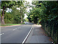
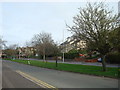
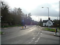
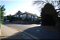
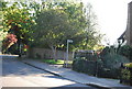
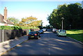
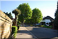
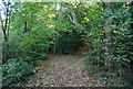
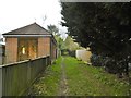
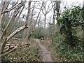
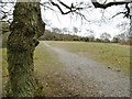
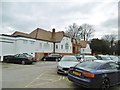
52 photos from this area
Area Information
Key information about the CR2 0DA including its size, population, and administrative classification.
- Area Type
- Postcode
- Area Size
- 1.4 hectares
- Population
- 1569
- Population Density
- 3399 people/km²
House Prices in CR2 0DA
18
Properties
£622,973
Average Sold Price
£310,000
Lowest Price
£1,100,000
Highest Price
Showing 18 properties
| Address | Type | Beds | Baths | Last Sale Price | Last Sale Date | |
|---|---|---|---|---|---|---|
| 7 Croham Close, South Croydon, CR2 0DA | Detached | 4 | 1 | £1,100,000 | Sep 2022 | |
| 3 Croham Close, South Croydon, CR2 0DA | Detached | 4 | 2 | £765,700 | Oct 2021 | |
| 10 Croham Close, South Croydon, CR2 0DA | house | - | - | £775,000 | Sep 2021 | |
| 12 Croham Close, South Croydon, CR2 0DA | house | - | - | £785,000 | Oct 2018 | |
| 6 Croham Close, South Croydon, CR2 0DA | Detached | 4 | 2 | £660,000 | Aug 2018 | |
| 8 Croham Close, South Croydon, CR2 0DA | house | - | - | £670,000 | May 2018 | |
| 15 Croham Close, South Croydon, CR2 0DA | Detached | 4 | 3 | £615,000 | Sep 2014 | |
| 14 Croham Close, South Croydon, CR2 0DA | Detached | 4 | 2 | £417,000 | Jul 2013 | |
| 4 Croham Close, South Croydon, CR2 0DA | Detached | - | - | £440,000 | Feb 2007 | |
| 18 Croham Close, South Croydon, CR2 0DA | house | - | - | £315,000 | May 2006 |
Page 1 of 2
Energy Efficiency in CR2 0DA
Amenities
Schools
| Rank | School | Type | Entry gender | Ages |
|---|
Explore more schools in this area
Go to Schools tabDemographics
Household Size
Family (3-5 people)
most common
Accommodation Type
Houses
most common
Tenure
83
majority
Ethnic Group
White
most common
Religion
N/A
most common
Household Composition
N/A
most common
Age
47
median
Adults (30-64 years)
most common
Household Deprivation
N/A
with no deprivation
NS-SEC
55
in Lower managerial occupations
Explore more demographic insights in this area
Go to Demographics tabPlanning
Planning Constraints
- Flood RiskPremium
- Ramsar Wetland SitesPremium
- Area of Outstanding Natural BeautyPremium
- Protected Nature ReservePremium
- Protected WoodlandPremium