Area Overview for CR0 9BE
Photos of CR0 9BE
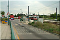
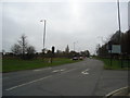
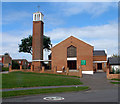
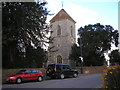
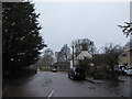
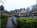
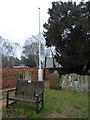
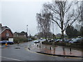
72 photos from this area
Area Information
Key information about the CR0 9BE including its size, population, and administrative classification.
- Area Type
- Postcode
- Area Size
- 31.6 hectares
- Population
- 1325
- Population Density
- 1127 people/km²
House Prices in CR0 9BE
35
Properties
£370,653
Average Sold Price
£118,500
Lowest Price
£570,000
Highest Price
Showing 35 properties
| Address | Type | Beds | Baths | Last Sale Price | Last Sale Date | |
|---|---|---|---|---|---|---|
| 3 Falconwood Road, Croydon, CR0 9BE | Semi-detached | 4 | 3 | £570,000 | Mar 2024 | |
| 41 Falconwood Road, Croydon, CR0 9BE | house | - | - | £485,000 | Nov 2021 | |
| 13 Falconwood Road, Croydon, CR0 9BE | Semi-detached | 3 | 1 | £488,000 | Dec 2020 | |
| 15 Falconwood Road, Croydon, CR0 9BE | Semi-detached | 3 | - | £460,000 | Oct 2020 | |
| 17 Falconwood Road, Croydon, CR0 9BE | Semi-detached | 3 | 1 | £425,000 | Aug 2019 | |
| 39 Falconwood Road, Croydon, CR0 9BE | Semi-detached | 3 | 1 | £410,000 | Feb 2019 | |
| 25 Falconwood Road, Croydon, CR0 9BE | Semi-detached | 3 | 1 | £457,000 | Apr 2018 | |
| 1 Falconwood Road, Croydon, CR0 9BE | Semi-detached | 3 | 1 | £440,000 | Mar 2016 | |
| 47 Falconwood Road, Croydon, CR0 9BE | Semi-detached | - | - | £370,000 | Mar 2014 | |
| 33 Falconwood Road, Croydon, CR0 9BE | house | 3 | - | £340,000 | Jun 2012 |
Page 1 of 4
Energy Efficiency in CR0 9BE
Amenities
Schools
| Rank | School | Type | Entry gender | Ages |
|---|
Explore more schools in this area
Go to Schools tabDemographics
Household Size
One person
most common
Accommodation Type
Houses
most common
Tenure
69
majority
Ethnic Group
White
most common
Religion
N/A
most common
Household Composition
N/A
most common
Age
47
median
Adults (30-64 years)
most common
Household Deprivation
N/A
with no deprivation
NS-SEC
39
in Lower managerial occupations
Explore more demographic insights in this area
Go to Demographics tabPlanning
Planning Constraints
- Flood RiskPremium
- Ramsar Wetland SitesPremium
- Area of Outstanding Natural BeautyPremium
- Protected Nature ReservePremium
- Protected WoodlandPremium