Area Overview for CR2 8JH
Photos of CR2 8JH
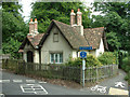
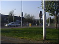
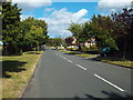
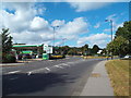
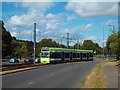
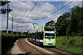
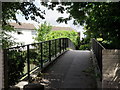
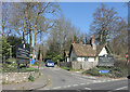
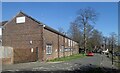
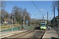

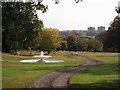
48 photos from this area
Area Information
Key information about the CR2 8JH including its size, population, and administrative classification.
- Area Type
- Postcode
- Area Size
- 9652 m²
- Population
- 1603
- Population Density
- 464 people/km²
House Prices in CR2 8JH
14
Properties
£265,850
Average Sold Price
£175,000
Lowest Price
£330,000
Highest Price
Showing 14 properties
| Address | Type | Beds | Baths | Last Sale Price | Last Sale Date | |
|---|---|---|---|---|---|---|
| 203 Selsdon Park Road, South Croydon, CR2 8JH | Flat | 3 | 1 | £330,000 | Sep 2025 | |
| 193 Selsdon Park Road, South Croydon, CR2 8JH | Maisonette | 3 | 1 | £291,000 | May 2023 | |
| 197 Selsdon Park Road, South Croydon, CR2 8JH | Maisonette | 3 | - | £310,000 | Nov 2021 | |
| 211 Selsdon Park Road, South Croydon, CR2 8JH | Maisonette | 3 | 1 | £315,000 | Sep 2021 | |
| 213 Selsdon Park Road, South Croydon, CR2 8JH | Maisonette | 2 | 1 | £290,000 | Apr 2020 | |
| 199 Selsdon Park Road, South Croydon, CR2 8JH | Maisonette | 3 | 1 | £300,000 | Dec 2017 | |
| 201 Selsdon Park Road, South Croydon, CR2 8JH | Maisonette | 3 | 1 | £280,000 | Feb 2016 | |
| 191 Selsdon Park Road, South Croydon, CR2 8JH | Maisonette | - | - | £185,000 | Mar 2011 | |
| 207 Selsdon Park Road, South Croydon, CR2 8JH | Flat | - | - | £175,000 | Jun 2010 | |
| 195 Selsdon Park Road, South Croydon, CR2 8JH | Maisonette | 3 | 1 | £182,500 | Jul 2007 |
Page 1 of 2
Energy Efficiency in CR2 8JH
Amenities
Schools
| Rank | School | Type | Entry gender | Ages |
|---|
Explore more schools in this area
Go to Schools tabDemographics
Household Size
Family (3-5 people)
most common
Accommodation Type
Houses
most common
Tenure
87
majority
Ethnic Group
White
most common
Religion
N/A
most common
Household Composition
N/A
most common
Age
47
median
Adults (30-64 years)
most common
Household Deprivation
N/A
with no deprivation
NS-SEC
46
in Lower managerial occupations
Explore more demographic insights in this area
Go to Demographics tabPlanning
Planning Constraints
- Flood RiskPremium
- Ramsar Wetland SitesPremium
- Area of Outstanding Natural BeautyPremium
- Protected Nature ReservePremium
- Protected WoodlandPremium