Area Overview for CR0 7JY
Photos of CR0 7JY
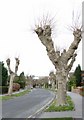
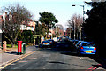
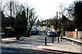
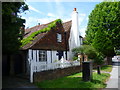
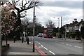
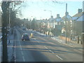
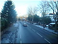
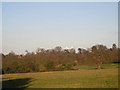
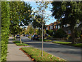
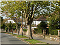
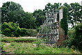
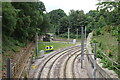
73 photos from this area
Area Information
Key information about the CR0 7JY including its size, population, and administrative classification.
- Area Type
- Postcode
- Area Size
- 7197 m²
- Population
- 1772
- Population Density
- 5449 people/km²
House Prices in CR0 7JY
12
Properties
£533,550
Average Sold Price
£361,000
Lowest Price
£849,000
Highest Price
Showing 12 properties
| Address | Type | Beds | Baths | Last Sale Price | Last Sale Date | |
|---|---|---|---|---|---|---|
| 18 Birch Tree Way, Croydon, CR0 7JY | Semi-detached | 5 | 3 | £849,000 | Jun 2024 | |
| 20 Birch Tree Way, Croydon, CR0 7JY | Semi-detached | 4 | 2 | £660,000 | Jun 2019 | |
| 22 Birch Tree Way, Croydon, CR0 7JY | Semi-detached | 4 | 1 | £640,000 | May 2019 | |
| 16 Birch Tree Way, Croydon, CR0 7JY | Flat | 4 | 1 | £695,000 | Dec 2017 | |
| 14 Birch Tree Way, Croydon, CR0 7JY | house | - | - | £557,500 | Sep 2015 | |
| 24 Birch Tree Way, Croydon, CR0 7JY | house | 4 | - | £380,500 | Feb 2010 | |
| 10 Birch Tree Way, Croydon, CR0 7JY | Detached | 4 | 2 | £430,000 | Oct 2007 | |
| 4 Birch Tree Way, Croydon, CR0 7JY | Semi-detached | 4 | 1 | £377,500 | Sep 2005 | |
| Julian Mh House, 12 Birch Tree Way, Croydon, CR0 7JY | Semi-detached | 4 | 2 | £385,000 | May 2003 | |
| 6 Birch Tree Way, Croydon, CR0 7JY | Terraced | - | - | £361,000 | Dec 2002 |
Page 1 of 2
Energy Efficiency in CR0 7JY
Amenities
Schools
| Rank | School | Type | Entry gender | Ages |
|---|
Explore more schools in this area
Go to Schools tabDemographics
Household Size
Family (3-5 people)
most common
Accommodation Type
Houses
most common
Tenure
74
majority
Ethnic Group
White
most common
Religion
N/A
most common
Household Composition
N/A
most common
Age
47
median
Adults (30-64 years)
most common
Household Deprivation
N/A
with no deprivation
NS-SEC
48
in Lower managerial occupations
Explore more demographic insights in this area
Go to Demographics tabPlanning
Planning Constraints
- Flood RiskPremium
- Ramsar Wetland SitesPremium
- Area of Outstanding Natural BeautyPremium
- Protected Nature ReservePremium
- Protected WoodlandPremium