Area Overview for CR0 7JB
Photos of CR0 7JB
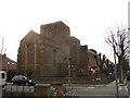
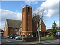
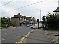
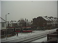

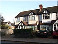
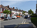
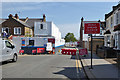
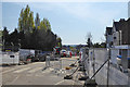
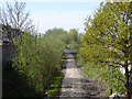
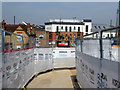
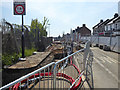
100 photos from this area
Area Information
Key information about the CR0 7JB including its size, population, and administrative classification.
- Area Type
- Postcode
- Area Size
- 8083 m²
- Population
- Not available
- Population Density
- Not available
House Prices in CR0 7JB
22
Properties
£335,766
Average Sold Price
£124,200
Lowest Price
£550,000
Highest Price
Showing 22 properties
| Address | Type | Beds | Baths | Last Sale Price | Last Sale Date | |
|---|---|---|---|---|---|---|
| 17 Compton Road, Croydon, CR0 7JB | Terraced | 3 | 1 | £532,000 | Aug 2024 | |
| 5 Compton Road, Croydon, CR0 7JB | Terraced | 3 | 1 | £450,000 | May 2024 | |
| 29 Compton Road, Croydon, CR0 7JB | Terraced | 4 | 2 | £490,000 | Apr 2021 | |
| 39 Compton Road, Croydon, CR0 7JB | Terraced | 3 | 2 | £550,000 | Apr 2020 | |
| 15 Compton Road, Croydon, CR0 7JB | Terraced | 3 | 1 | £473,000 | Jun 2019 | |
| 37 Compton Road, Croydon, CR0 7JB | house | 3 | 1 | £299,950 | Oct 2013 | |
| 23 Compton Road, Croydon, CR0 7JB | Terraced | 3 | - | £320,000 | Aug 2012 | |
| 9 Compton Road, Croydon, CR0 7JB | Terraced | 3 | - | £295,000 | Nov 2011 | |
| 33 Compton Road, Croydon, CR0 7JB | Bungalow | 3 | - | £418,000 | May 2011 | |
| 41 Compton Road, Croydon, CR0 7JB | Terraced | - | - | £305,000 | Oct 2008 |
Page 1 of 3
Energy Efficiency in CR0 7JB
Amenities
Schools
| Rank | School | Type | Entry gender | Ages |
|---|
Explore more schools in this area
Go to Schools tabDemographics
Household Size
Family (3-5 people)
most common
Accommodation Type
Houses
most common
Tenure
87
majority
Ethnic Group
White
most common
Religion
N/A
most common
Household Composition
N/A
most common
Age
47
median
Adults (30-64 years)
most common
Household Deprivation
N/A
with no deprivation
NS-SEC
44
in Lower managerial occupations
Explore more demographic insights in this area
Go to Demographics tabPlanning
Planning Constraints
- Flood RiskPremium
- Ramsar Wetland SitesPremium
- Area of Outstanding Natural BeautyPremium
- Protected Nature ReservePremium
- Protected WoodlandPremium