Area Overview for CR0 7ED
Photos of CR0 7ED
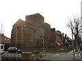
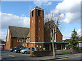
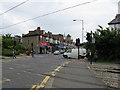
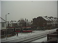
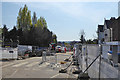
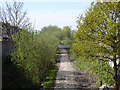
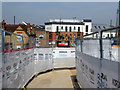
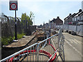
100 photos from this area
Area Information
Key information about the CR0 7ED including its size, population, and administrative classification.
- Area Type
- Postcode
- Area Size
- 3168 m²
- Population
- 1772
- Population Density
- 5449 people/km²
House Prices in CR0 7ED
12
Properties
£295,640
Average Sold Price
£84,250
Lowest Price
£500,000
Highest Price
Showing 12 properties
| Address | Type | Beds | Baths | Last Sale Price | Last Sale Date | |
|---|---|---|---|---|---|---|
| 56 Bingham Road, Croydon, CR0 7ED | Terraced | 3 | 1 | £475,000 | Aug 2023 | |
| 62 Bingham Road, Croydon, CR0 7ED | Terraced | 5 | - | £500,000 | Oct 2016 | |
| 52 Bingham Road, Croydon, CR0 7ED | Semi-detached | 3 | 1 | £299,950 | May 2007 | |
| 68 Bingham Road, Croydon, CR0 7ED | Terraced | 4 | 2 | £119,000 | Apr 1998 | |
| 70 Bingham Road, Croydon, CR0 7ED | Terraced | 3 | 1 | £84,250 | Jul 1995 | |
| 58 Bingham Road, Croydon, CR0 7ED | Terraced | 3 | - | - | - | |
| 54A Bingham Road, Croydon, CR0 7ED | Flat | - | - | - | - | |
| 66 Bingham Road, Croydon, CR0 7ED | Terraced | - | - | - | - | |
| 50 Bingham Road, Croydon, CR0 7ED | Terraced | - | - | - | - | |
| 60 Bingham Road, Croydon, CR0 7ED | Terraced | - | - | - | - |
Page 1 of 2
Energy Efficiency in CR0 7ED
Amenities
Schools
| Rank | School | Type | Entry gender | Ages |
|---|
Explore more schools in this area
Go to Schools tabDemographics
Household Size
Family (3-5 people)
most common
Accommodation Type
Houses
most common
Tenure
74
majority
Ethnic Group
White
most common
Religion
N/A
most common
Household Composition
N/A
most common
Age
47
median
Adults (30-64 years)
most common
Household Deprivation
N/A
with no deprivation
NS-SEC
48
in Lower managerial occupations
Explore more demographic insights in this area
Go to Demographics tabPlanning
Planning Constraints
- Flood RiskPremium
- Ramsar Wetland SitesPremium
- Area of Outstanding Natural BeautyPremium
- Protected Nature ReservePremium
- Protected WoodlandPremium