Area Overview for CR0 3DD
Photos of CR0 3DD

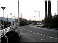
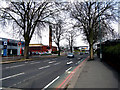
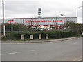
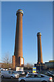
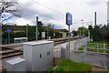
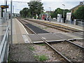
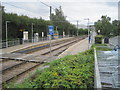
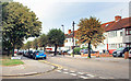
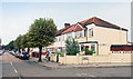
99 photos from this area
Area Information
Key information about the CR0 3DD including its size, population, and administrative classification.
- Area Type
- Postcode
- Area Size
- 1.5 hectares
- Population
- 1984
- Population Density
- 13333 people/km²
House Prices in CR0 3DD
33
Properties
£197,174
Average Sold Price
£68,500
Lowest Price
£371,000
Highest Price
Showing 33 properties
| Address | Type | Beds | Baths | Last Sale Price | Last Sale Date | |
|---|---|---|---|---|---|---|
| 10 Alfriston Avenue, Croydon, CR0 3DD | Terraced | 3 | - | £371,000 | Dec 2019 | |
| 12 Alfriston Avenue, Croydon, CR0 3DD | house | - | - | £290,000 | Jul 2019 | |
| 55 Alfriston Avenue, Croydon, CR0 3DD | Terraced | 1 | - | £220,000 | Mar 2016 | |
| 8 Alfriston Avenue, Croydon, CR0 3DD | Terraced | 3 | 1 | £220,000 | Mar 2010 | |
| 49 Alfriston Avenue, Croydon, CR0 3DD | Terraced | - | - | £205,000 | Sep 2008 | |
| 37 Alfriston Avenue, Croydon, CR0 3DD | Terraced | - | - | £245,000 | Jun 2007 | |
| 23 Alfriston Avenue, Croydon, CR0 3DD | Terraced | - | - | £233,500 | Feb 2007 | |
| 15 Alfriston Avenue, Croydon, CR0 3DD | house | - | - | £202,950 | Jul 2006 | |
| 33 Alfriston Avenue, Croydon, CR0 3DD | Terraced | - | - | £225,000 | Jul 2006 | |
| 14 Alfriston Avenue, Croydon, CR0 3DD | house | 3 | - | £212,000 | Aug 2005 |
Page 1 of 4
Energy Efficiency in CR0 3DD
Amenities
Schools
| Rank | School | Type | Entry gender | Ages |
|---|
Explore more schools in this area
Go to Schools tabDemographics
Household Size
Family (3-5 people)
most common
Accommodation Type
Houses
most common
Tenure
65
majority
Ethnic Group
asian_total
most common
Religion
N/A
most common
Household Composition
N/A
most common
Age
47
median
Adults (30-64 years)
most common
Household Deprivation
N/A
with no deprivation
NS-SEC
21
in Lower managerial occupations
Explore more demographic insights in this area
Go to Demographics tabPlanning
Planning Constraints
- Flood RiskPremium
- Ramsar Wetland SitesPremium
- Area of Outstanding Natural BeautyPremium
- Protected Nature ReservePremium
- Protected WoodlandPremium