Area Overview for BR7 6RH
Photos of BR7 6RH
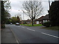
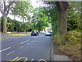
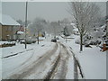
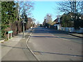
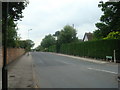
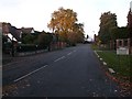
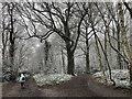
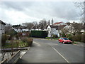
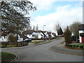
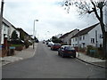
48 photos from this area
Area Information
Key information about the BR7 6RH including its size, population, and administrative classification.
- Area Type
- Postcode
- Area Size
- 1.9 hectares
- Population
- 1193
- Population Density
- 1057 people/km²
House Prices in BR7 6RH
19
Properties
£879,700
Average Sold Price
£412,000
Lowest Price
£1,465,000
Highest Price
Showing 19 properties
| Address | Type | Beds | Baths | Last Sale Price | Last Sale Date | |
|---|---|---|---|---|---|---|
| 3 Berens Way, Chislehurst, BR7 6RH | Retail | 4 | 2 | £1,465,000 | Aug 2022 | |
| 21 Berens Way, Chislehurst, BR7 6RH | Detached | 4 | 2 | £1,330,000 | May 2022 | |
| 27 Berens Way, Chislehurst, BR7 6RH | house | - | - | £1,055,000 | Apr 2022 | |
| 31 Berens Way, Chislehurst, BR7 6RH | house | - | - | £1,240,000 | Feb 2022 | |
| 33 Berens Way, Chislehurst, BR7 6RH | Detached | 3 | 1 | £685,000 | Aug 2019 | |
| 11 Berens Way, Chislehurst, BR7 6RH | Bungalow | 3 | - | £720,000 | Mar 2016 | |
| 7 Berens Way, Chislehurst, BR7 6RH | house | - | - | £625,000 | Dec 2012 | |
| 25 Berens Way, Chislehurst, BR7 6RH | house | - | - | £662,500 | Jun 2011 | |
| 17 Berens Way, Chislehurst, BR7 6RH | Bungalow | - | - | £412,000 | Sep 2009 | |
| 15 Berens Way, Chislehurst, BR7 6RH | Detached | 5 | 3 | £602,500 | Dec 2006 |
Page 1 of 2
Energy Efficiency in BR7 6RH
Amenities
Schools
| Rank | School | Type | Entry gender | Ages |
|---|
Explore more schools in this area
Go to Schools tabDemographics
Household Size
Family (3-5 people)
most common
Accommodation Type
Houses
most common
Tenure
95
majority
Ethnic Group
White
most common
Religion
N/A
most common
Household Composition
N/A
most common
Age
47
median
Adults (30-64 years)
most common
Household Deprivation
N/A
with no deprivation
NS-SEC
51
in Lower managerial occupations
Explore more demographic insights in this area
Go to Demographics tabPlanning
Planning Constraints
- Flood RiskPremium
- Ramsar Wetland SitesPremium
- Area of Outstanding Natural BeautyPremium
- Protected Nature ReservePremium
- Protected WoodlandPremium