Area Overview for BR7 6RF
Photos of BR7 6RF
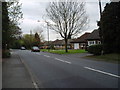
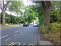
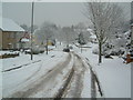
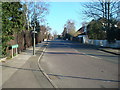
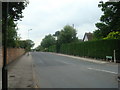
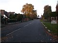
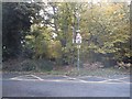
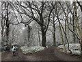
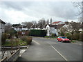
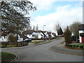
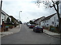
48 photos from this area
Area Information
Key information about the BR7 6RF including its size, population, and administrative classification.
- Area Type
- Postcode
- Area Size
- 2.9 hectares
- Population
- 1193
- Population Density
- 1057 people/km²
House Prices in BR7 6RF
28
Properties
£804,159
Average Sold Price
£166,000
Lowest Price
£1,695,000
Highest Price
Showing 28 properties
| Address | Type | Beds | Baths | Last Sale Price | Last Sale Date | |
|---|---|---|---|---|---|---|
| 22 Clarendon Way, Chislehurst, BR7 6RF | Detached | 4 | 2 | £1,225,000 | Jan 2025 | |
| 30A Clarendon Way, Chislehurst, BR7 6RF | Bungalow | 3 | 2 | £765,000 | Nov 2023 | |
| 20 Clarendon Way, Chislehurst, BR7 6RF | Retail | 5 | 3 | £1,695,000 | Oct 2022 | |
| Dreamwood, 2A Clarendon Way, Chislehurst, BR7 6RF | Detached | 5 | 4 | £1,430,000 | Aug 2022 | |
| 46 Clarendon Way, Chislehurst, BR7 6RF | house | - | - | £1,190,000 | May 2021 | |
| 12 Clarendon Way, Chislehurst, BR7 6RF | Detached | 4 | - | £1,125,000 | Aug 2019 | |
| 30 Clarendon Way, Chislehurst, BR7 6RF | Detached | 3 | 1 | £697,000 | Apr 2019 | |
| 16 Clarendon Way, Chislehurst, BR7 6RF | Detached | 4 | 3 | £1,140,000 | Apr 2019 | |
| 34 Clarendon Way, Chislehurst, BR7 6RF | Detached | 4 | - | £995,000 | Mar 2019 | |
| 32A Clarendon Way, Chislehurst, BR7 6RF | Detached | 4 | 1 | £717,500 | Oct 2016 |
Page 1 of 3
Energy Efficiency in BR7 6RF
Amenities
Schools
| Rank | School | Type | Entry gender | Ages |
|---|
Explore more schools in this area
Go to Schools tabDemographics
Household Size
Family (3-5 people)
most common
Accommodation Type
Houses
most common
Tenure
95
majority
Ethnic Group
White
most common
Religion
N/A
most common
Household Composition
N/A
most common
Age
47
median
Adults (30-64 years)
most common
Household Deprivation
N/A
with no deprivation
NS-SEC
51
in Lower managerial occupations
Explore more demographic insights in this area
Go to Demographics tabPlanning
Planning Constraints
- Flood RiskPremium
- Ramsar Wetland SitesPremium
- Area of Outstanding Natural BeautyPremium
- Protected Nature ReservePremium
- Protected WoodlandPremium