Area Overview for BR7 6LT
Photos of BR7 6LT
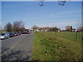
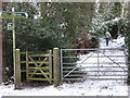
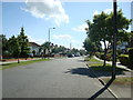
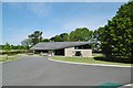

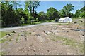
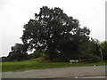
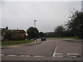

41 photos from this area
Area Information
Key information about the BR7 6LT including its size, population, and administrative classification.
- Area Type
- Postcode
- Area Size
- 14.9 hectares
- Population
- 1636
- Population Density
- 1180 people/km²
House Prices in BR7 6LT
30
Properties
£965,625
Average Sold Price
£280,000
Lowest Price
£1,700,000
Highest Price
Showing 30 properties
| Address | Type | Beds | Baths | Last Sale Price | Last Sale Date | |
|---|---|---|---|---|---|---|
| The Coach House, Kemnal Road, Chislehurst, BR7 6LT | house | - | - | £1,250,000 | Mar 2025 | |
| Pickwick, Kemnal Road, Chislehurst, BR7 6LT | Detached | 4 | 3 | £1,250,000 | Feb 2023 | |
| Westerland Lodge, Kemnal Road, Chislehurst, BR7 6LT | Detached | 3 | 2 | £790,000 | Jul 2017 | |
| Brookside, Kemnal Road, Chislehurst, BR7 6LT | Land | 2 | - | £1,300,000 | Sep 2009 | |
| Marlborough House, Kemnal Road, Chislehurst, BR7 6LT | Detached | 1 | - | £1,700,000 | Feb 2009 | |
| Cherith, Kemnal Road, Chislehurst, BR7 6LT | Detached | - | - | £685,000 | Nov 2003 | |
| Middlemarch, Kemnal Road, Chislehurst, BR7 6LT | Flat | 1 | - | £470,000 | May 2002 | |
| The Roses, Kemnal Road, Chislehurst, BR7 6LT | Detached | 5 | - | £280,000 | Apr 1998 | |
| Flat 1, Selwood House, Kemnal Road, Chislehurst, BR7 6LT | Flat | 2 | - | - | - | |
| Flat 2, Selwood House, Kemnal Road, Chislehurst, BR7 6LT | Flat | 1 | 1 | - | - |
Page 1 of 3
Energy Efficiency in BR7 6LT
Amenities
Schools
| Rank | School | Type | Entry gender | Ages |
|---|
Explore more schools in this area
Go to Schools tabDemographics
Household Size
Family (3-5 people)
most common
Accommodation Type
Houses
most common
Tenure
59
majority
Ethnic Group
White
most common
Religion
N/A
most common
Household Composition
N/A
most common
Age
47
median
Adults (30-64 years)
most common
Household Deprivation
N/A
with no deprivation
NS-SEC
38
in Lower managerial occupations
Explore more demographic insights in this area
Go to Demographics tabPlanning
Planning Constraints
- Flood RiskPremium
- Ramsar Wetland SitesPremium
- Area of Outstanding Natural BeautyPremium
- Protected Nature ReservePremium
- Protected WoodlandPremium