Area Overview for BR7 6JZ
Photos of BR7 6JZ
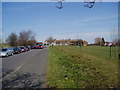
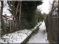
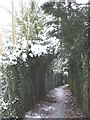
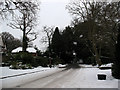
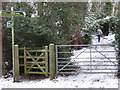
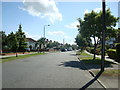
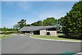
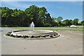
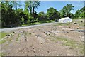
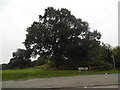
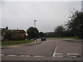

41 photos from this area
Area Information
Key information about the BR7 6JZ including its size, population, and administrative classification.
- Area Type
- Postcode
- Area Size
- 8983 m²
- Population
- 1636
- Population Density
- 1180 people/km²
House Prices in BR7 6JZ
29
Properties
£283,688
Average Sold Price
£51,750
Lowest Price
£515,000
Highest Price
Showing 29 properties
| Address | Type | Beds | Baths | Last Sale Price | Last Sale Date | |
|---|---|---|---|---|---|---|
| 139 Slades Drive, Chislehurst, BR7 6JZ | Maisonette | 2 | 1 | £295,000 | Dec 2025 | |
| 123 Slades Drive, Chislehurst, BR7 6JZ | Terraced | 3 | 1 | £485,000 | Feb 2025 | |
| 135 Slades Drive, Chislehurst, BR7 6JZ | Maisonette | 2 | 1 | £340,000 | Jan 2023 | |
| 171 Slades Drive, Chislehurst, BR7 6JZ | Terraced | 3 | 1 | £465,000 | Dec 2022 | |
| 169 Slades Drive, Chislehurst, BR7 6JZ | Terraced | 4 | 2 | £515,000 | Mar 2021 | |
| 131 Slades Drive, Chislehurst, BR7 6JZ | Maisonette | 2 | - | £280,000 | Mar 2018 | |
| 125 Slades Drive, Chislehurst, BR7 6JZ | house | - | - | £335,000 | Sep 2016 | |
| 137 Slades Drive, Chislehurst, BR7 6JZ | Flat | 2 | 1 | £205,000 | Feb 2014 | |
| 127 Slades Drive, Chislehurst, BR7 6JZ | Terraced | - | - | £245,000 | Mar 2008 | |
| 159 Slades Drive, Chislehurst, BR7 6JZ | Maisonette | 2 | 1 | £125,000 | Nov 2002 |
Page 1 of 3
Energy Efficiency in BR7 6JZ
Amenities
Schools
| Rank | School | Type | Entry gender | Ages |
|---|
Explore more schools in this area
Go to Schools tabDemographics
Household Size
Family (3-5 people)
most common
Accommodation Type
Houses
most common
Tenure
59
majority
Ethnic Group
White
most common
Religion
N/A
most common
Household Composition
N/A
most common
Age
47
median
Adults (30-64 years)
most common
Household Deprivation
N/A
with no deprivation
NS-SEC
38
in Lower managerial occupations
Explore more demographic insights in this area
Go to Demographics tabPlanning
Planning Constraints
- Flood RiskPremium
- Ramsar Wetland SitesPremium
- Area of Outstanding Natural BeautyPremium
- Protected Nature ReservePremium
- Protected WoodlandPremium