Area Overview for BR7 6EZ
Photos of BR7 6EZ
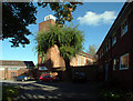
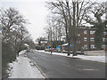
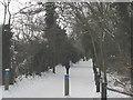
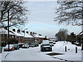
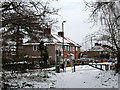
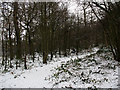
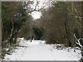
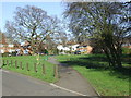
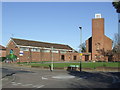
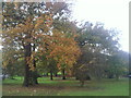
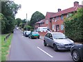
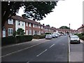
48 photos from this area
Area Information
Key information about the BR7 6EZ including its size, population, and administrative classification.
- Area Type
- Postcode
- Area Size
- 6739 m²
- Population
- 1557
- Population Density
- 6951 people/km²
House Prices in BR7 6EZ
20
Properties
£143,791
Average Sold Price
£45,000
Lowest Price
£290,000
Highest Price
Showing 20 properties
| Address | Type | Beds | Baths | Last Sale Price | Last Sale Date | |
|---|---|---|---|---|---|---|
| 61 Croft Close, Chislehurst, BR7 6EZ | Maisonette | 2 | 1 | £290,000 | Aug 2021 | |
| 51 Croft Close, Chislehurst, BR7 6EZ | Flat | - | - | £280,000 | Oct 2019 | |
| 56 Croft Close, Chislehurst, BR7 6EZ | Maisonette | 2 | 1 | £192,000 | Oct 2018 | |
| 50 Croft Close, Chislehurst, BR7 6EZ | Maisonette | 2 | 1 | £281,000 | Apr 2018 | |
| 53 Croft Close, Chislehurst, BR7 6EZ | Maisonette | 2 | 1 | £225,000 | Apr 2017 | |
| 57 Croft Close, Chislehurst, BR7 6EZ | Flat | 2 | - | £142,000 | Mar 2012 | |
| 66 Croft Close, Chislehurst, BR7 6EZ | Flat | 2 | - | £143,000 | Dec 2009 | |
| 54 Croft Close, Chislehurst, BR7 6EZ | Maisonette | 2 | 1 | £133,500 | Nov 2005 | |
| 49 Croft Close, Chislehurst, BR7 6EZ | Flat | 2 | 1 | £140,500 | Jan 2005 | |
| 63 Croft Close, Chislehurst, BR7 6EZ | Flat | 2 | 1 | £140,000 | Jan 2005 |
Page 1 of 2
Energy Efficiency in BR7 6EZ
Amenities
Schools
| Rank | School | Type | Entry gender | Ages |
|---|
Explore more schools in this area
Go to Schools tabDemographics
Household Size
Family (3-5 people)
most common
Accommodation Type
Houses
most common
Tenure
76
majority
Ethnic Group
White
most common
Religion
N/A
most common
Household Composition
N/A
most common
Age
47
median
Adults (30-64 years)
most common
Household Deprivation
N/A
with no deprivation
NS-SEC
45
in Lower managerial occupations
Explore more demographic insights in this area
Go to Demographics tabPlanning
Planning Constraints
- Flood RiskPremium
- Ramsar Wetland SitesPremium
- Area of Outstanding Natural BeautyPremium
- Protected Nature ReservePremium
- Protected WoodlandPremium