Area Overview for BR7 5EL
Photos of BR7 5EL
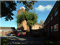
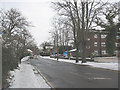
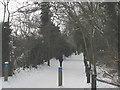
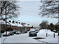
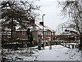
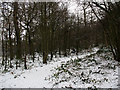
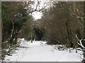
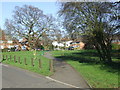
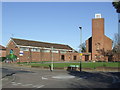
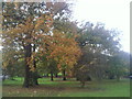
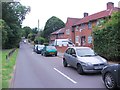
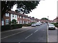
48 photos from this area
Area Information
Key information about the BR7 5EL including its size, population, and administrative classification.
- Area Type
- Postcode
- Area Size
- 3.5 hectares
- Population
- 2298
- Population Density
- 2279 people/km²
House Prices in BR7 5EL
51
Properties
£626,981
Average Sold Price
£125,000
Lowest Price
£1,333,000
Highest Price
Showing 51 properties
| Address | Type | Beds | Baths | Last Sale Price | Last Sale Date | |
|---|---|---|---|---|---|---|
| 76 Elmstead Lane, Chislehurst, BR7 5EL | Detached | 3 | 1 | £700,000 | Jun 2024 | |
| 121 Elmstead Lane, Chislehurst, BR7 5EL | Terraced | 2 | 1 | £460,000 | Sep 2023 | |
| 62 Elmstead Lane, Chislehurst, BR7 5EL | Detached | 4 | 2 | £950,000 | Dec 2022 | |
| 86 Elmstead Lane, Chislehurst, BR7 5EL | Detached | 4 | 3 | £1,185,000 | Oct 2022 | |
| 54 Elmstead Lane, Chislehurst, BR7 5EL | Retail | 3 | 1 | £755,000 | Jun 2022 | |
| 98 Elmstead Lane, Chislehurst, BR7 5EL | house | - | - | £800,000 | Oct 2021 | |
| 68 Elmstead Lane, Chislehurst, BR7 5EL | house | 3 | - | £1,333,000 | Sep 2021 | |
| 66 Elmstead Lane, Chislehurst, BR7 5EL | Detached | 3 | 1 | £1,263,000 | Feb 2021 | |
| 56 Elmstead Lane, Chislehurst, BR7 5EL | Detached | 4 | 2 | £815,000 | Aug 2020 | |
| 78 Elmstead Lane, Chislehurst, BR7 5EL | Detached | 3 | 1 | £1,267,500 | Apr 2020 |
Page 1 of 6
Energy Efficiency in BR7 5EL
Amenities
Schools
| Rank | School | Type | Entry gender | Ages |
|---|
Explore more schools in this area
Go to Schools tabDemographics
Household Size
Family (3-5 people)
most common
Accommodation Type
Houses
most common
Tenure
85
majority
Ethnic Group
White
most common
Religion
N/A
most common
Household Composition
N/A
most common
Age
47
median
Adults (30-64 years)
most common
Household Deprivation
N/A
with no deprivation
NS-SEC
56
in Lower managerial occupations
Explore more demographic insights in this area
Go to Demographics tabPlanning
Planning Constraints
- Flood RiskPremium
- Ramsar Wetland SitesPremium
- Area of Outstanding Natural BeautyPremium
- Protected Nature ReservePremium
- Protected WoodlandPremium