Area Overview for BR6 7SJ
Photos of BR6 7SJ
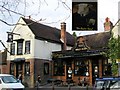
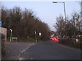
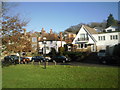
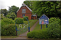
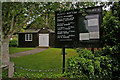
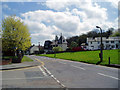
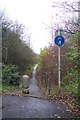
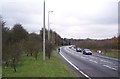
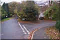
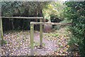
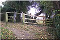
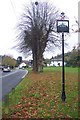
59 photos from this area
Area Information
Key information about the BR6 7SJ including its size, population, and administrative classification.
- Area Type
- Postcode
- Area Size
- 2.6 hectares
- Population
- 1642
- Population Density
- 199 people/km²
House Prices in BR6 7SJ
36
Properties
£450,710
Average Sold Price
£200,000
Lowest Price
£690,000
Highest Price
Showing 36 properties
| Address | Type | Beds | Baths | Last Sale Price | Last Sale Date | |
|---|---|---|---|---|---|---|
| 11 Turnpike Drive, Orpington, BR6 7SJ | Bungalow | 2 | 2 | £586,970 | Nov 2025 | |
| 31 Turnpike Drive, Orpington, BR6 7SJ | Bungalow | 2 | 1 | £580,000 | Aug 2025 | |
| 24 Turnpike Drive, Orpington, BR6 7SJ | Bungalow | 2 | 1 | £540,000 | Sep 2024 | |
| 18 Turnpike Drive, Orpington, BR6 7SJ | Bungalow | 3 | 1 | £450,000 | Jul 2024 | |
| 25 Turnpike Drive, Orpington, BR6 7SJ | Semi-detached | 4 | 2 | £685,000 | Jun 2023 | |
| 2 Turnpike Drive, Pratts Bottom, BR6 7SJ | Bungalow | 2 | 1 | £587,000 | Apr 2023 | |
| 15 Turnpike Drive, Orpington, BR6 7SJ | Bungalow | - | - | £470,000 | Mar 2023 | |
| 30 Turnpike Drive, Orpington, BR6 7SJ | Bungalow | 4 | 4 | £690,000 | Mar 2023 | |
| 4 Turnpike Drive, Pratts Bottom, BR6 7SJ | Bungalow | - | - | £646,000 | Nov 2022 | |
| 17 Turnpike Drive, Orpington, BR6 7SJ | Semi-detached | 2 | 1 | £487,500 | Jan 2022 |
Page 1 of 4
Energy Efficiency in BR6 7SJ
Amenities
Schools
| Rank | School | Type | Entry gender | Ages |
|---|
Explore more schools in this area
Go to Schools tabDemographics
Household Size
Two person
most common
Accommodation Type
Houses
most common
Tenure
88
majority
Ethnic Group
White
most common
Religion
N/A
most common
Household Composition
N/A
most common
Age
47
median
Adults (30-64 years)
most common
Household Deprivation
N/A
with no deprivation
NS-SEC
47
in Lower managerial occupations
Explore more demographic insights in this area
Go to Demographics tabPlanning
Planning Constraints
- Flood RiskPremium
- Ramsar Wetland SitesPremium
- Area of Outstanding Natural BeautyPremium
- Protected Nature ReservePremium
- Protected WoodlandPremium