Area Overview for BR6 7PL
Photos of BR6 7PL
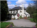
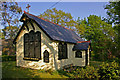
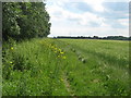
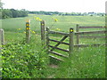
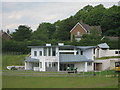
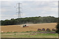
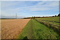
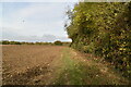
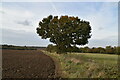
49 photos from this area
Area Information
Key information about the BR6 7PL including its size, population, and administrative classification.
- Area Type
- Postcode
- Area Size
- 14.3 hectares
- Population
- 1642
- Population Density
- 199 people/km²
House Prices in BR6 7PL
12
Properties
£758,119
Average Sold Price
£390,000
Lowest Price
£1,075,000
Highest Price
Showing 12 properties
| Address | Type | Beds | Baths | Last Sale Price | Last Sale Date | |
|---|---|---|---|---|---|---|
| Mount Pleasant, Pump Lane, Orpington, BR6 7PL | Bungalow | - | - | £1,000,000 | Jun 2021 | |
| Well Hill Cottage, Pump Lane, Orpington, BR6 7PL | house | - | - | £1,075,000 | Mar 2021 | |
| The Poplars, Pump Lane, Orpington, BR6 7PL | house | - | - | £567,475 | Feb 2014 | |
| Owen Wood House, Pump Lane, Orpington, BR6 7PL | Detached | 4 | 4 | £390,000 | Jun 2006 | |
| Holly Den, Pump Lane, Orpington, BR6 7PL | Detached | 4 | 2 | - | - | |
| Annexe At, Mount Pleasant, Pump Lane, Orpington, BR6 7PL | Cottage | 3 | - | - | - | |
| Maryleigh Cottage, Pump Lane, Orpington, BR6 7PL | house | 5 | - | - | - | |
| Kent Hounds, Pump Lane, Orpington, BR6 7PL | house | 3 | - | - | - | |
| White Cottage, Pump Lane, Orpington, BR6 7PL | Detached | - | - | - | - | |
| Doctors Wood Lodge, Pump Lane, Orpington, BR6 7PL | Bungalow | - | - | - | - |
Page 1 of 2
Energy Efficiency in BR6 7PL
Amenities
Schools
| Rank | School | Type | Entry gender | Ages |
|---|
Explore more schools in this area
Go to Schools tabDemographics
Household Size
Two person
most common
Accommodation Type
Houses
most common
Tenure
88
majority
Ethnic Group
White
most common
Religion
N/A
most common
Household Composition
N/A
most common
Age
47
median
Adults (30-64 years)
most common
Household Deprivation
N/A
with no deprivation
NS-SEC
47
in Lower managerial occupations
Explore more demographic insights in this area
Go to Demographics tabPlanning
Planning Constraints
- Flood RiskPremium
- Ramsar Wetland SitesPremium
- Area of Outstanding Natural BeautyPremium
- Protected Nature ReservePremium
- Protected WoodlandPremium