Area Overview for BR6 0BL
Photos of BR6 0BL
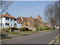
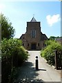
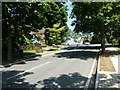
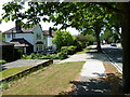
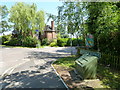
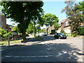
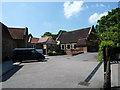
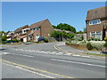
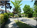
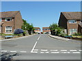
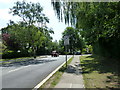
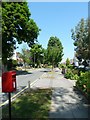
100 photos from this area
Area Information
Key information about the BR6 0BL including its size, population, and administrative classification.
- Area Type
- Postcode
- Area Size
- 1.1 hectares
- Population
- 1561
- Population Density
- 4678 people/km²
House Prices in BR6 0BL
18
Properties
£519,493
Average Sold Price
£162,500
Lowest Price
£880,000
Highest Price
Showing 18 properties
| Address | Type | Beds | Baths | Last Sale Price | Last Sale Date | |
|---|---|---|---|---|---|---|
| 223 Crofton Lane, Orpington, BR6 0BL | Detached | 3 | 1 | £660,000 | Jun 2024 | |
| 205 Crofton Lane, Orpington, BR6 0BL | Detached | 5 | 1 | £775,000 | Jul 2017 | |
| 233 Crofton Lane, Orpington, BR6 0BL | Detached | 4 | 2 | £625,000 | Aug 2016 | |
| 237 Crofton Lane, Orpington, BR6 0BL | Detached | 4 | 1 | £500,000 | Dec 2014 | |
| 225 Crofton Lane, Orpington, BR6 0BL | Detached | 4 | 2 | £740,000 | Aug 2014 | |
| 227 Crofton Lane, Orpington, BR6 0BL | Detached | 5 | - | £880,000 | Jul 2014 | |
| 231 Crofton Lane, Orpington, BR6 0BL | house | - | - | £455,000 | Nov 2013 | |
| 217 Crofton Lane, Orpington, BR6 0BL | Detached | 5 | 1 | £730,000 | Jun 2013 | |
| 235 Crofton Lane, Orpington, BR6 0BL | Detached | 4 | - | £380,000 | Apr 2013 | |
| 211 Crofton Lane, Orpington, BR6 0BL | Semi-detached | - | - | £410,000 | May 2006 |
Page 1 of 2
Energy Efficiency in BR6 0BL
Amenities
Schools
| Rank | School | Type | Entry gender | Ages |
|---|
Explore more schools in this area
Go to Schools tabDemographics
Household Size
Family (3-5 people)
most common
Accommodation Type
Houses
most common
Tenure
86
majority
Ethnic Group
White
most common
Religion
N/A
most common
Household Composition
N/A
most common
Age
47
median
Adults (30-64 years)
most common
Household Deprivation
N/A
with no deprivation
NS-SEC
53
in Lower managerial occupations
Explore more demographic insights in this area
Go to Demographics tabPlanning
Planning Constraints
- Flood RiskPremium
- Ramsar Wetland SitesPremium
- Area of Outstanding Natural BeautyPremium
- Protected Nature ReservePremium
- Protected WoodlandPremium