Area Overview for BR5 1HH
Photos of BR5 1HH
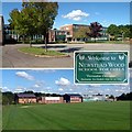
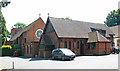
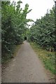
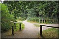
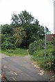
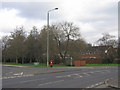
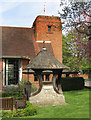
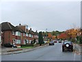
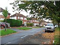
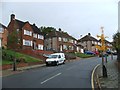
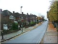
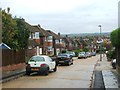
82 photos from this area
Area Information
Key information about the BR5 1HH including its size, population, and administrative classification.
- Area Type
- Postcode
- Area Size
- 1.0 hectares
- Population
- 1640
- Population Density
- 4780 people/km²
House Prices in BR5 1HH
16
Properties
£421,300
Average Sold Price
£123,000
Lowest Price
£800,000
Highest Price
Showing 16 properties
| Address | Type | Beds | Baths | Last Sale Price | Last Sale Date | |
|---|---|---|---|---|---|---|
| 1 Crofton Lane, Orpington, BR5 1HH | Detached | 4 | 2 | £800,000 | Jul 2022 | |
| 25 Crofton Lane, Orpington, BR5 1HH | house | - | - | £710,000 | Oct 2020 | |
| 3 Crofton Lane, Orpington, BR5 1HH | Bungalow | 3 | 1 | £550,000 | Aug 2020 | |
| 9 Crofton Lane, Orpington, BR5 1HH | house | - | - | £600,000 | Feb 2014 | |
| 21 Crofton Lane, Orpington, BR5 1HH | house | - | - | £570,000 | May 2011 | |
| 23 Crofton Lane, Orpington, BR5 1HH | Semi-detached | - | - | £348,500 | Jun 2007 | |
| 19 Crofton Lane, Orpington, BR5 1HH | Semi-detached | - | - | £233,000 | Jul 2001 | |
| 29 Crofton Lane, Orpington, BR5 1HH | Semi-detached | - | - | £123,500 | Mar 1998 | |
| 15 Crofton Lane, Orpington, BR5 1HH | house | - | - | £123,000 | Aug 1996 | |
| 7 Crofton Lane, Orpington, BR5 1HH | Detached | - | - | £155,000 | Jan 1995 |
Page 1 of 2
Energy Efficiency in BR5 1HH
Amenities
Schools
| Rank | School | Type | Entry gender | Ages |
|---|
Explore more schools in this area
Go to Schools tabDemographics
Household Size
Family (3-5 people)
most common
Accommodation Type
Houses
most common
Tenure
90
majority
Ethnic Group
White
most common
Religion
N/A
most common
Household Composition
N/A
most common
Age
47
median
Adults (30-64 years)
most common
Household Deprivation
N/A
with no deprivation
NS-SEC
49
in Lower managerial occupations
Explore more demographic insights in this area
Go to Demographics tabPlanning
Planning Constraints
- Flood RiskPremium
- Ramsar Wetland SitesPremium
- Area of Outstanding Natural BeautyPremium
- Protected Nature ReservePremium
- Protected WoodlandPremium