Area Overview for BR5 1EE
Photos of BR5 1EE

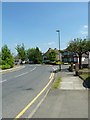
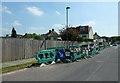
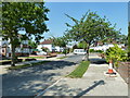
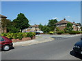
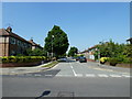
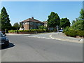
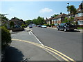
100 photos from this area
Area Information
Key information about the BR5 1EE including its size, population, and administrative classification.
- Area Type
- Postcode
- Area Size
- 7266 m²
- Population
- Not available
- Population Density
- Not available
House Prices in BR5 1EE
16
Properties
£610,636
Average Sold Price
£277,500
Lowest Price
£905,000
Highest Price
Showing 16 properties
| Address | Type | Beds | Baths | Last Sale Price | Last Sale Date | |
|---|---|---|---|---|---|---|
| 27 Fairway, Petts Wood, Orpington, BR5 1EE | Semi-detached | 3 | 1 | £730,000 | Sep 2025 | |
| 35 Fairway, Petts Wood, Orpington, BR5 1EE | Semi-detached | 3 | 2 | £905,000 | Apr 2023 | |
| 33 Fairway, Petts Wood, Orpington, BR5 1EE | house | 3 | - | £760,000 | Sep 2021 | |
| 45 Fairway, Petts Wood, Orpington, BR5 1EE | Semi-detached | 3 | - | £700,000 | Jun 2021 | |
| 47 Fairway, Petts Wood, Orpington, BR5 1EE | Semi-detached | 4 | - | £825,000 | Sep 2020 | |
| 29 Fairway, Petts Wood, Orpington, BR5 1EE | Semi-detached | 5 | - | £825,000 | Oct 2019 | |
| 31 Fairway, Petts Wood, Orpington, BR5 1EE | Semi-detached | 3 | - | £606,000 | Jun 2016 | |
| 37 Fairway, Petts Wood, Orpington, BR5 1EE | house | - | - | £377,000 | Aug 2012 | |
| 25 Fairway, Petts Wood, Orpington, BR5 1EE | Semi-detached | - | - | £384,000 | Aug 2006 | |
| 49 Fairway, Petts Wood, Orpington, BR5 1EE | house | 3 | 1 | £327,500 | Nov 2005 |
Page 1 of 2
Energy Efficiency in BR5 1EE
Amenities
Schools
| Rank | School | Type | Entry gender | Ages |
|---|
Explore more schools in this area
Go to Schools tabDemographics
Household Size
Family (3-5 people)
most common
Accommodation Type
Houses
most common
Tenure
74
majority
Ethnic Group
White
most common
Religion
N/A
most common
Household Composition
N/A
most common
Age
47
median
Adults (30-64 years)
most common
Household Deprivation
N/A
with no deprivation
NS-SEC
49
in Lower managerial occupations
Explore more demographic insights in this area
Go to Demographics tabPlanning
Planning Constraints
- Flood RiskPremium
- Ramsar Wetland SitesPremium
- Area of Outstanding Natural BeautyPremium
- Protected Nature ReservePremium
- Protected WoodlandPremium