Area Overview for BR4 9AS
Photos of BR4 9AS
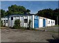
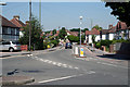
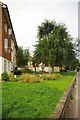
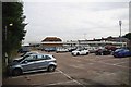
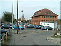
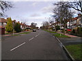
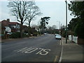
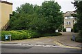
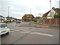
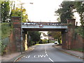
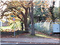
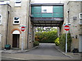
57 photos from this area
Area Information
Key information about the BR4 9AS including its size, population, and administrative classification.
- Area Type
- Postcode
- Area Size
- 2.7 hectares
- Population
- Not available
- Population Density
- Not available
House Prices in BR4 9AS
21
Properties
£335,842
Average Sold Price
£140,000
Lowest Price
£768,000
Highest Price
Showing 21 properties
| Address | Type | Beds | Baths | Last Sale Price | Last Sale Date | |
|---|---|---|---|---|---|---|
| 49 Keswick Road, West Wickham, BR4 9AS | Retail | 4 | 2 | £768,000 | May 2022 | |
| 57 Keswick Road, West Wickham, BR4 9AS | Detached | 4 | 2 | £591,000 | Nov 2021 | |
| 47 Keswick Road, West Wickham, BR4 9AS | house | - | - | £675,000 | Dec 2020 | |
| 77 Keswick Road, West Wickham, BR4 9AS | house | - | - | £480,000 | Nov 2017 | |
| 75 Keswick Road, West Wickham, BR4 9AS | Semi-detached | 3 | - | £492,000 | Jul 2014 | |
| 65 Keswick Road, West Wickham, BR4 9AS | Semi-detached | - | - | £285,000 | Jul 2002 | |
| 73 Keswick Road, West Wickham, BR4 9AS | Semi-detached | - | - | £175,000 | Apr 1999 | |
| 69 Keswick Road, West Wickham, BR4 9AS | Semi-detached | - | - | £148,500 | Sep 1998 | |
| 63 Keswick Road, West Wickham, BR4 9AS | house | - | - | £153,000 | Jul 1998 | |
| 59 Keswick Road, West Wickham, BR4 9AS | Semi-detached | - | - | £157,950 | Apr 1998 |
Page 1 of 3
Energy Efficiency in BR4 9AS
Amenities
Schools
| Rank | School | Type | Entry gender | Ages |
|---|
Explore more schools in this area
Go to Schools tabDemographics
Household Size
Family (3-5 people)
most common
Accommodation Type
Houses
most common
Tenure
89
majority
Ethnic Group
White
most common
Religion
N/A
most common
Household Composition
N/A
most common
Age
47
median
Adults (30-64 years)
most common
Household Deprivation
N/A
with no deprivation
NS-SEC
45
in Lower managerial occupations
Explore more demographic insights in this area
Go to Demographics tabPlanning
Planning Constraints
- Flood RiskPremium
- Ramsar Wetland SitesPremium
- Area of Outstanding Natural BeautyPremium
- Protected Nature ReservePremium
- Protected WoodlandPremium