Area Overview for BR2 7HN
Photos of BR2 7HN
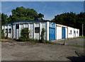
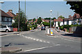
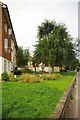
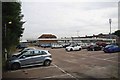
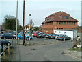
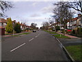
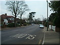
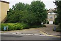
57 photos from this area
Area Information
Key information about the BR2 7HN including its size, population, and administrative classification.
- Area Type
- Postcode
- Area Size
- 8.9 hectares
- Population
- Not available
- Population Density
- Not available
House Prices in BR2 7HN
22
Properties
£770,893
Average Sold Price
£415,000
Lowest Price
£1,325,000
Highest Price
Showing 22 properties
| Address | Type | Beds | Baths | Last Sale Price | Last Sale Date | |
|---|---|---|---|---|---|---|
| 37 Hayes Hill, Hayes, Bromley, BR2 7HN | Detached | 3 | 2 | £800,000 | Jan 2024 | |
| 65 Hayes Hill, Hayes, Bromley, BR2 7HN | Detached | 5 | 2 | £1,325,000 | Mar 2023 | |
| 59 Hayes Hill, Hayes, Bromley, BR2 7HN | house | - | - | £1,035,000 | Dec 2019 | |
| 69 Hayes Hill, Hayes, Bromley, BR2 7HN | Detached | 5 | 3 | £1,030,000 | Oct 2019 | |
| 77 Hayes Hill, Hayes, Bromley, BR2 7HN | Detached | 5 | - | £1,020,000 | Aug 2018 | |
| 61 Hayes Hill, Hayes, Bromley, BR2 7HN | Detached | 5 | - | £850,000 | Mar 2014 | |
| 75 Hayes Hill, Hayes, Bromley, BR2 7HN | house | - | - | £925,000 | Dec 2013 | |
| 51A Hayes Hill, Hayes, Bromley, BR2 7HN | house | - | - | £660,000 | Mar 2013 | |
| 79 Hayes Hill, Hayes, Bromley, BR2 7HN | Detached | - | - | £620,000 | Aug 2007 | |
| 45 Hayes Hill, Hayes, Bromley, BR2 7HN | Detached | - | - | £477,500 | Jan 2007 |
Page 1 of 3
Energy Efficiency in BR2 7HN
Amenities
Schools
| Rank | School | Type | Entry gender | Ages |
|---|
Explore more schools in this area
Go to Schools tabDemographics
Household Size
Family (3-5 people)
most common
Accommodation Type
Houses
most common
Tenure
89
majority
Ethnic Group
White
most common
Religion
N/A
most common
Household Composition
N/A
most common
Age
47
median
Adults (30-64 years)
most common
Household Deprivation
N/A
with no deprivation
NS-SEC
45
in Lower managerial occupations
Explore more demographic insights in this area
Go to Demographics tabPlanning
Planning Constraints
- Flood RiskPremium
- Ramsar Wetland SitesPremium
- Area of Outstanding Natural BeautyPremium
- Protected Nature ReservePremium
- Protected WoodlandPremium