Area Overview for BR4 0JD
Photos of BR4 0JD
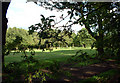
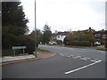
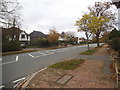
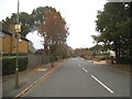
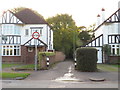
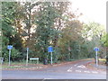
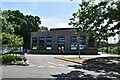
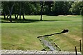
43 photos from this area
Area Information
Key information about the BR4 0JD including its size, population, and administrative classification.
- Area Type
- Postcode
- Area Size
- 6187 m²
- Population
- 1571
- Population Density
- 1816 people/km²
House Prices in BR4 0JD
13
Properties
£470,363
Average Sold Price
£182,000
Lowest Price
£890,000
Highest Price
Showing 13 properties
| Address | Type | Beds | Baths | Last Sale Price | Last Sale Date | |
|---|---|---|---|---|---|---|
| 153 Hayes Chase, West Wickham, BR4 0JD | house | - | - | £890,000 | Sep 2022 | |
| 151 Hayes Chase, West Wickham, BR4 0JD | Semi-detached | 3 | - | £565,000 | Mar 2019 | |
| 147 Hayes Chase, West Wickham, BR4 0JD | Semi-detached | 5 | 2 | £665,000 | Dec 2014 | |
| 141 Hayes Chase, West Wickham, BR4 0JD | Semi-detached | 5 | - | £555,000 | Mar 2013 | |
| 139 Hayes Chase, West Wickham, BR4 0JD | house | - | - | £489,000 | Dec 2011 | |
| 135 Hayes Chase, West Wickham, BR4 0JD | house | - | - | £340,000 | Sep 2010 | |
| 137 Hayes Chase, West Wickham, BR4 0JD | house | - | - | £400,000 | Apr 2010 | |
| 143 Hayes Chase, West Wickham, BR4 0JD | Semi-detached | - | - | £386,000 | Sep 2007 | |
| 157 Hayes Chase, West Wickham, BR4 0JD | Semi-detached | - | - | £452,000 | Apr 2007 | |
| 155 Hayes Chase, West Wickham, BR4 0JD | Semi-detached | - | - | £249,995 | Sep 2003 |
Page 1 of 2
Energy Efficiency in BR4 0JD
Amenities
Schools
| Rank | School | Type | Entry gender | Ages |
|---|
Explore more schools in this area
Go to Schools tabDemographics
Household Size
Family (3-5 people)
most common
Accommodation Type
Houses
most common
Tenure
88
majority
Ethnic Group
White
most common
Religion
N/A
most common
Household Composition
N/A
most common
Age
47
median
Adults (30-64 years)
most common
Household Deprivation
N/A
with no deprivation
NS-SEC
48
in Lower managerial occupations
Explore more demographic insights in this area
Go to Demographics tabPlanning
Planning Constraints
- Flood RiskPremium
- Ramsar Wetland SitesPremium
- Area of Outstanding Natural BeautyPremium
- Protected Nature ReservePremium
- Protected WoodlandPremium