Area Overview for BR3 4NY
Photos of BR3 4NY
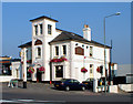
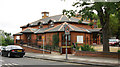
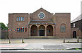
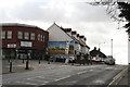
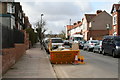
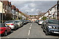
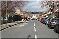
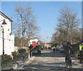
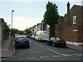
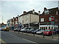
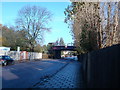
100 photos from this area
Area Information
Key information about the BR3 4NY including its size, population, and administrative classification.
- Area Type
- Postcode
- Area Size
- 4885 m²
- Population
- 1519
- Population Density
- 7580 people/km²
House Prices in BR3 4NY
24
Properties
£291,538
Average Sold Price
£77,500
Lowest Price
£618,000
Highest Price
Showing 24 properties
| Address | Type | Beds | Baths | Last Sale Price | Last Sale Date | |
|---|---|---|---|---|---|---|
| 23 Seward Road, Beckenham, BR3 4NY | Terraced | 3 | - | £618,000 | Dec 2021 | |
| 1 Seward Road, Beckenham, BR3 4NY | house | - | - | £400,500 | Aug 2019 | |
| 25 Seward Road, Beckenham, BR3 4NY | Terraced | 3 | 1 | £480,000 | Apr 2017 | |
| Roots House, Seward Road, Beckenham, BR3 4NY | Terraced | - | - | £398,000 | Jun 2015 | |
| 14 Seward Road, Beckenham, BR3 4NY | Terraced | 3 | - | £345,000 | Jan 2014 | |
| 6 Seward Road, Beckenham, BR3 4NY | house | 3 | - | £285,000 | Aug 2010 | |
| 10 Seward Road, Beckenham, BR3 4NY | house | 3 | - | £250,000 | Jul 2010 | |
| 5 Seward Road, Beckenham, BR3 4NY | house | - | - | £228,000 | Jul 2009 | |
| 3 Seward Road, Beckenham, BR3 4NY | Terraced | - | - | £210,000 | Feb 2007 | |
| 7 Seward Road, Beckenham, BR3 4NY | Terraced | - | - | £195,000 | Jul 2006 |
Page 1 of 3
Energy Efficiency in BR3 4NY
Amenities
Schools
| Rank | School | Type | Entry gender | Ages |
|---|
Explore more schools in this area
Go to Schools tabDemographics
Household Size
Two person
most common
Accommodation Type
Houses
most common
Tenure
69
majority
Ethnic Group
White
most common
Religion
N/A
most common
Household Composition
N/A
most common
Age
47
median
Adults (30-64 years)
most common
Household Deprivation
N/A
with no deprivation
NS-SEC
46
in Lower managerial occupations
Explore more demographic insights in this area
Go to Demographics tabPlanning
Planning Constraints
- Flood RiskPremium
- Ramsar Wetland SitesPremium
- Area of Outstanding Natural BeautyPremium
- Protected Nature ReservePremium
- Protected WoodlandPremium