Area Overview for BR3 4NH
Photos of BR3 4NH
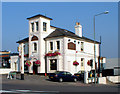
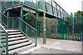
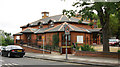
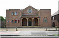
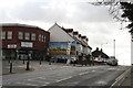
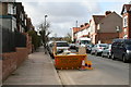
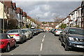
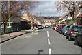
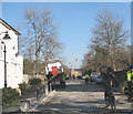
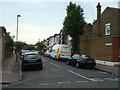
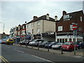
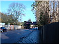
100 photos from this area
Area Information
Key information about the BR3 4NH including its size, population, and administrative classification.
- Area Type
- Postcode
- Area Size
- 4206 m²
- Population
- 1519
- Population Density
- 7580 people/km²
House Prices in BR3 4NH
24
Properties
£329,875
Average Sold Price
£70,000
Lowest Price
£625,000
Highest Price
Showing 24 properties
| Address | Type | Beds | Baths | Last Sale Price | Last Sale Date | |
|---|---|---|---|---|---|---|
| 195 Blandford Road, Beckenham, BR3 4NH | Terraced | 3 | 1 | £526,000 | Jul 2024 | |
| 205 Blandford Road, Beckenham, BR3 4NH | Terraced | 3 | 1 | £601,500 | Oct 2023 | |
| 181 Blandford Road, Beckenham, BR3 4NH | Terraced | 3 | 1 | £625,000 | Jul 2023 | |
| 187 Blandford Road, Beckenham, BR3 4NH | Terraced | 3 | 1 | £493,000 | Mar 2023 | |
| 227 Blandford Road, Beckenham, BR3 4NH | Maisonette | 1 | 1 | £315,000 | Jan 2023 | |
| 225 Blandford Road, Beckenham, BR3 4NH | Maisonette | 2 | 2 | £352,500 | Feb 2022 | |
| 217 Blandford Road, Beckenham, BR3 4NH | house | - | - | £496,000 | May 2021 | |
| 183 Blandford Road, Beckenham, BR3 4NH | Terraced | 3 | 1 | £460,000 | Dec 2015 | |
| 197 Blandford Road, Beckenham, BR3 4NH | Terraced | 3 | - | £385,000 | Jan 2015 | |
| 215 Blandford Road, Beckenham, BR3 4NH | Terraced | 3 | - | £315,000 | May 2012 |
Page 1 of 3
Energy Efficiency in BR3 4NH
Amenities
Schools
| Rank | School | Type | Entry gender | Ages |
|---|
Explore more schools in this area
Go to Schools tabDemographics
Household Size
Two person
most common
Accommodation Type
Houses
most common
Tenure
69
majority
Ethnic Group
White
most common
Religion
N/A
most common
Household Composition
N/A
most common
Age
47
median
Adults (30-64 years)
most common
Household Deprivation
N/A
with no deprivation
NS-SEC
46
in Lower managerial occupations
Explore more demographic insights in this area
Go to Demographics tabPlanning
Planning Constraints
- Flood RiskPremium
- Ramsar Wetland SitesPremium
- Area of Outstanding Natural BeautyPremium
- Protected Nature ReservePremium
- Protected WoodlandPremium