Area Overview for BR3 1EG
Photos of BR3 1EG
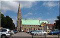
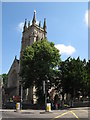
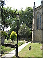

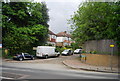
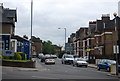
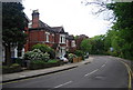
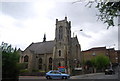
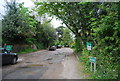
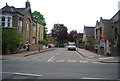
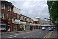
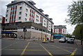
100 photos from this area
Area Information
Key information about the BR3 1EG including its size, population, and administrative classification.
- Area Type
- Postcode
- Area Size
- 6348 m²
- Population
- Not available
- Population Density
- Not available
House Prices in BR3 1EG
16
Properties
£504,495
Average Sold Price
£98,500
Lowest Price
£845,000
Highest Price
Showing 16 properties
| Address | Type | Beds | Baths | Last Sale Price | Last Sale Date | |
|---|---|---|---|---|---|---|
| 104 The Drive, Beckenham, BR3 1EG | Terraced | 3 | 1 | £800,000 | May 2025 | |
| 96 The Drive, Beckenham, BR3 1EG | Detached | 3 | 1 | £700,000 | May 2023 | |
| 90 The Drive, Beckenham, BR3 1EG | house | - | - | £845,000 | Oct 2022 | |
| 78 The Drive, Beckenham, BR3 1EG | Terraced | 4 | - | £693,000 | Oct 2016 | |
| 100 The Drive, Beckenham, BR3 1EG | house | 4 | 2 | £633,000 | Mar 2016 | |
| 76 The Drive, Beckenham, BR3 1EG | Terraced | 3 | 1 | £476,000 | Dec 2013 | |
| 80 The Drive, Beckenham, BR3 1EG | house | - | - | £393,950 | Jul 2010 | |
| 92 The Drive, Beckenham, BR3 1EG | house | 3 | - | £325,000 | Sep 2003 | |
| 84 The Drive, Beckenham, BR3 1EG | Terraced | - | - | £275,000 | Aug 2003 | |
| 106 The Drive, Beckenham, BR3 1EG | Terraced | - | - | £310,000 | Sep 2002 |
Page 1 of 2
Energy Efficiency in BR3 1EG
Amenities
Schools
| Rank | School | Type | Entry gender | Ages |
|---|
Explore more schools in this area
Go to Schools tabDemographics
Household Size
One person
most common
Accommodation Type
Flats
most common
Tenure
51
majority
Ethnic Group
White
most common
Religion
N/A
most common
Household Composition
N/A
most common
Age
47
median
Adults (30-64 years)
most common
Household Deprivation
N/A
with no deprivation
NS-SEC
51
in Lower managerial occupations
Explore more demographic insights in this area
Go to Demographics tabPlanning
Planning Constraints
- Flood RiskPremium
- Ramsar Wetland SitesPremium
- Area of Outstanding Natural BeautyPremium
- Protected Nature ReservePremium
- Protected WoodlandPremium