Area Overview for BR3 1BY
Photos of BR3 1BY
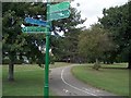
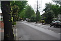
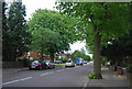
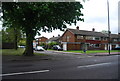
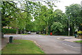
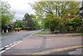
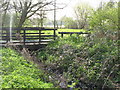
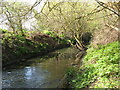
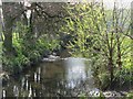
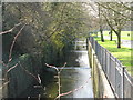
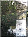
100 photos from this area
Area Information
Key information about the BR3 1BY including its size, population, and administrative classification.
- Area Type
- Postcode
- Area Size
- 2.6 hectares
- Population
- Not available
- Population Density
- Not available
House Prices in BR3 1BY
40
Properties
£639,489
Average Sold Price
£399,950
Lowest Price
£970,000
Highest Price
Showing 40 properties
| Address | Type | Beds | Baths | Last Sale Price | Last Sale Date | |
|---|---|---|---|---|---|---|
| 27 Century Way, Beckenham, BR3 1BY | Terraced | 4 | 2 | £785,000 | Dec 2025 | |
| 1 Century Way, Beckenham, BR3 1BY | Detached | 4 | 3 | £801,000 | Nov 2025 | |
| 33 Century Way, Beckenham, BR3 1BY | Detached | 5 | 3 | £970,000 | Nov 2024 | |
| 7 Century Way, Beckenham, BR3 1BY | Semi-detached | 4 | 2 | £723,000 | Dec 2023 | |
| 10 Century Way, Beckenham, BR3 1BY | Semi-detached | 4 | 3 | £785,000 | May 2023 | |
| 4 Century Way, Beckenham, BR3 1BY | house | - | - | £766,000 | Feb 2022 | |
| 2 Century Way, Beckenham, BR3 1BY | Detached | 4 | 3 | £700,000 | Apr 2021 | |
| 39 Century Way, Beckenham, BR3 1BY | Semi-detached | 4 | 1 | £885,000 | Aug 2019 | |
| 34 Century Way, Beckenham, BR3 1BY | Detached | 5 | 4 | £850,000 | Jun 2019 | |
| 3 Century Way, Beckenham, BR3 1BY | house | - | - | £640,000 | Feb 2019 |
Page 1 of 4
Energy Efficiency in BR3 1BY
Amenities
Schools
| Rank | School | Type | Entry gender | Ages |
|---|
Explore more schools in this area
Go to Schools tabDemographics
Household Size
Two person
most common
Accommodation Type
Flats
most common
Tenure
65
majority
Ethnic Group
White
most common
Religion
N/A
most common
Household Composition
N/A
most common
Age
47
median
Adults (30-64 years)
most common
Household Deprivation
N/A
with no deprivation
NS-SEC
58
in Lower managerial occupations
Explore more demographic insights in this area
Go to Demographics tabPlanning
Planning Constraints
- Flood RiskPremium
- Ramsar Wetland SitesPremium
- Area of Outstanding Natural BeautyPremium
- Protected Nature ReservePremium
- Protected WoodlandPremium