Area Overview for BR2 9SJ
Photos of BR2 9SJ
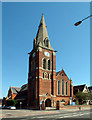
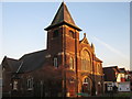
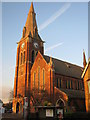
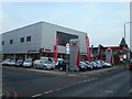
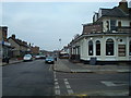
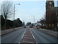
72 photos from this area
Area Information
Key information about the BR2 9SJ including its size, population, and administrative classification.
- Area Type
- Postcode
- Area Size
- 8473 m²
- Population
- 1736
- Population Density
- 10023 people/km²
House Prices in BR2 9SJ
36
Properties
£329,448
Average Sold Price
£72,000
Lowest Price
£615,000
Highest Price
Showing 36 properties
| Address | Type | Beds | Baths | Last Sale Price | Last Sale Date | |
|---|---|---|---|---|---|---|
| 77 Balfour Road, Bromley, BR2 9SJ | Terraced | 2 | 1 | £446,000 | Dec 2025 | |
| 79 Balfour Road, Bromley, BR2 9SJ | Terraced | 3 | 2 | £615,000 | May 2025 | |
| 43 Balfour Road, Bromley, BR2 9SJ | Terraced | 2 | 1 | £457,000 | Mar 2024 | |
| 69 Balfour Road, Bromley, BR2 9SJ | Terraced | 3 | 1 | £510,000 | Mar 2023 | |
| 75 Balfour Road, Bromley, BR2 9SJ | house | 2 | 1 | £512,000 | Oct 2022 | |
| 61 Balfour Road, Bromley, BR2 9SJ | house | - | - | £520,000 | Mar 2022 | |
| 47 Balfour Road, Bromley, BR2 9SJ | Retail | 2 | 1 | £405,000 | Feb 2022 | |
| 31 Balfour Road, Bromley, BR2 9SJ | Retail | 3 | 2 | £525,000 | Dec 2021 | |
| 15 Balfour Road, Bromley, BR2 9SJ | house | - | - | £320,000 | Jul 2021 | |
| 37 Balfour Road, Bromley, BR2 9SJ | house | - | - | £425,000 | Nov 2020 |
Page 1 of 4
Energy Efficiency in BR2 9SJ
Amenities
Schools
| Rank | School | Type | Entry gender | Ages |
|---|
Explore more schools in this area
Go to Schools tabDemographics
Household Size
Family (3-5 people)
most common
Accommodation Type
Houses
most common
Tenure
77
majority
Ethnic Group
White
most common
Religion
N/A
most common
Household Composition
N/A
most common
Age
47
median
Adults (30-64 years)
most common
Household Deprivation
N/A
with no deprivation
NS-SEC
48
in Lower managerial occupations
Explore more demographic insights in this area
Go to Demographics tabPlanning
Planning Constraints
- Flood RiskPremium
- Ramsar Wetland SitesPremium
- Area of Outstanding Natural BeautyPremium
- Protected Nature ReservePremium
- Protected WoodlandPremium