Area Overview for BR2 9QQ
Photos of BR2 9QQ
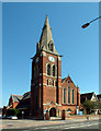
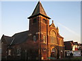
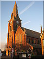
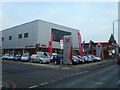
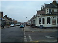
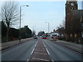
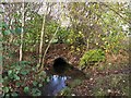
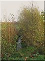
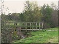
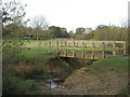
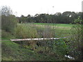
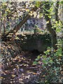
72 photos from this area
Area Information
Key information about the BR2 9QQ including its size, population, and administrative classification.
- Area Type
- Postcode
- Area Size
- 6361 m²
- Population
- 1736
- Population Density
- 10023 people/km²
House Prices in BR2 9QQ
27
Properties
£271,507
Average Sold Price
£47,850
Lowest Price
£538,000
Highest Price
Showing 27 properties
| Address | Type | Beds | Baths | Last Sale Price | Last Sale Date | |
|---|---|---|---|---|---|---|
| 79 Chatterton Road, Bromley, BR2 9QQ | Terraced | 2 | 1 | £525,000 | Sep 2025 | |
| 77 Chatterton Road, Bromley, BR2 9QQ | Terraced | 2 | 1 | £538,000 | Jun 2025 | |
| 69A Chatterton Road, Bromley, BR2 9QQ | Flat | 1 | 1 | £203,000 | Nov 2023 | |
| 53A Chatterton Road, Bromley, BR2 9QQ | Flat | - | - | £330,000 | Sep 2021 | |
| 53B Chatterton Road, Bromley, BR2 9QQ | Flat | - | - | £190,000 | Sep 2021 | |
| 81 Chatterton Road, Bromley, BR2 9QQ | Terraced | 2 | - | £455,000 | Jun 2021 | |
| 87B Chatterton Road, Bromley, BR2 9QQ | Maisonette | 2 | - | £295,995 | Jun 2014 | |
| 71 Chatterton Road, Bromley, BR2 9QQ | Terraced | 3 | - | £248,745 | Feb 2013 | |
| 87A Chatterton Road, Bromley, BR2 9QQ | Flat | 2 | 1 | £125,000 | Dec 2008 | |
| 87C Chatterton Road, Bromley, BR2 9QQ | Flat | - | - | £142,000 | Feb 2008 |
Page 1 of 3
Energy Efficiency in BR2 9QQ
Amenities
Schools
| Rank | School | Type | Entry gender | Ages |
|---|
Explore more schools in this area
Go to Schools tabDemographics
Household Size
Family (3-5 people)
most common
Accommodation Type
Houses
most common
Tenure
77
majority
Ethnic Group
White
most common
Religion
N/A
most common
Household Composition
N/A
most common
Age
47
median
Adults (30-64 years)
most common
Household Deprivation
N/A
with no deprivation
NS-SEC
48
in Lower managerial occupations
Explore more demographic insights in this area
Go to Demographics tabPlanning
Planning Constraints
- Flood RiskPremium
- Ramsar Wetland SitesPremium
- Area of Outstanding Natural BeautyPremium
- Protected Nature ReservePremium
- Protected WoodlandPremium