Area Overview for BR2 8NS
Photos of BR2 8NS
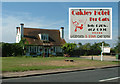
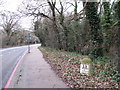
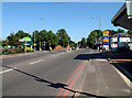
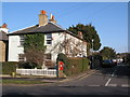
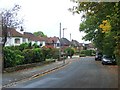
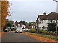
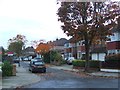
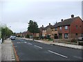
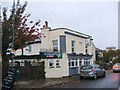
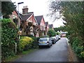
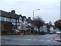
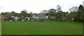
54 photos from this area
Area Information
Key information about the BR2 8NS including its size, population, and administrative classification.
- Area Type
- Postcode
- Area Size
- 1.2 hectares
- Population
- 1859
- Population Density
- 2230 people/km²
House Prices in BR2 8NS
32
Properties
£266,595
Average Sold Price
£41,000
Lowest Price
£535,000
Highest Price
Showing 32 properties
| Address | Type | Beds | Baths | Last Sale Price | Last Sale Date | |
|---|---|---|---|---|---|---|
| 78 Jackson Road, Bromley, BR2 8NS | Maisonette | 2 | 1 | £345,000 | Sep 2025 | |
| 66 Jackson Road, Bromley, BR2 8NS | Semi-detached | 3 | 2 | £535,000 | Oct 2022 | |
| 68 Jackson Road, Bromley, BR2 8NS | Maisonette | 2 | 1 | £315,000 | Sep 2021 | |
| 34 Jackson Road, Bromley, BR2 8NS | Semi-detached | 2 | 1 | £510,000 | Nov 2020 | |
| 60 Jackson Road, Bromley, BR2 8NS | Detached | 4 | 3 | £470,000 | Jul 2018 | |
| 76 Jackson Road, Bromley, BR2 8NS | Maisonette | 2 | 1 | £260,000 | May 2018 | |
| 30 Jackson Road, Bromley, BR2 8NS | Maisonette | 2 | - | £345,000 | Nov 2017 | |
| 28 Jackson Road, Bromley, BR2 8NS | Maisonette | 2 | 1 | £465,000 | Mar 2016 | |
| 54 Jackson Road, Bromley, BR2 8NS | Semi-detached | 2 | 1 | £373,000 | Mar 2016 | |
| 36 Jackson Road, Bromley, BR2 8NS | Terraced | 3 | - | £310,000 | Apr 2013 |
Page 1 of 4
Energy Efficiency in BR2 8NS
Amenities
Schools
| Rank | School | Type | Entry gender | Ages |
|---|
Explore more schools in this area
Go to Schools tabDemographics
Household Size
Family (3-5 people)
most common
Accommodation Type
Houses
most common
Tenure
78
majority
Ethnic Group
White
most common
Religion
N/A
most common
Household Composition
N/A
most common
Age
47
median
Adults (30-64 years)
most common
Household Deprivation
N/A
with no deprivation
NS-SEC
39
in Lower managerial occupations
Explore more demographic insights in this area
Go to Demographics tabPlanning
Planning Constraints
- Flood RiskPremium
- Ramsar Wetland SitesPremium
- Area of Outstanding Natural BeautyPremium
- Protected Nature ReservePremium
- Protected WoodlandPremium